What is recorded here
Maulrour holds a broken fairy fort where a twenty-one metre earthen bank rises fourteen decimetres above pasture. The road cut through its northern side, erasing half the ring and leaving only a southern arc beside the wheel-ruts. People may have lived inside the complete circle before the carriage route divided the earth. What remains is a stump of that older shape, still standing on the southeast-facing slope.
In pasture, on SE-facing slope. Arc (21m NE-SW) formed by earthen bank (H 1.4m) with shallow external fosse, to S of road running NE-SW. No visible surface trace on N side of road.
The above description is derived from the published 'Archaeological Inventory of County Cork. Volume 1: West Cork' (Dublin: Stationery Office, 1992). In certain instances the entries have been revised and updated in the light of recent research.
Date of upload/revision: 14 January 2009
The monument record does not grant public access. Check the route and ask the landowner before entering private land.
- What survives
- Recorded monument
Places near here
 Man-made underground passage in Farran (carbery East (e.d.) By.)Man-made underground passage · 931 yd
 MaullaghseefinBarrow, mound barrow · 972 yd
 Skeaf West Househouse · 1441 yd
 Monteen Castle (in Ruins)Castle, tower house · 1666 yd
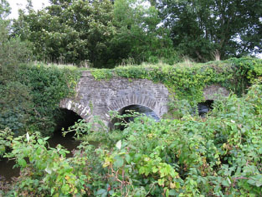 Skeaf Bridgebridge · 1692 yd
 English hollyEnglish holly · 1.1 mi
 Graveyard in KilmalodaGraveyard · 1.1 mi
 Argideen Valley trailVisitor information · 2.3 mi
 Burrane Castle (Site of)Castle, unclassified · 2.4 mi
 Johnny Sheila MurphyMemorial · 2.4 mi
 Argideen Loop WalksVisitor information · 2.4 mi
 Michael Collins CentreMuseum · 2.9 mi