What is recorded here
Situated on the SE facing slope of a high hill in grassland, with good views of the surrounding hilly countryside. A circular-shaped area (approx. diam. 23m NW-SE) enclosed by a substantial earthen bank (Wth 4m; H 1.5m at SE) and a wide deep external fosse. The perimeter has been quarried away from NNE-ESE. The interior slopes gently from SW-SE. A field fence running NE-SW, depicted as a roadway on the 1837 ed. OS 6-inch map, intersects the monument at NW. The enclosing element of the ringfort seems to have been mainly levelled since last site inspection, and is now visible as a crop mark on the Digital Globe aerial photograph taken November 2011. On this aerial photograph the only upstanding section of the enclosing bank is visible at SW.
See attached profile of monument surveyed and drawn by the ASI.
Compiled by: Frank Coyne and Caimin O'Brien
Date of upload: 30 August 2017
The monument record does not grant public access. Check the route and ask the landowner before entering private land.
- What survives
- Recorded monument
Places near here
 OutlinedFairy fort / earthen ringfort · 624 yd
 Partially hachuredFairy fort / earthen ringfort · 786 yd
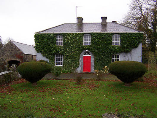 Martinstown Househouse · 1.0 mi
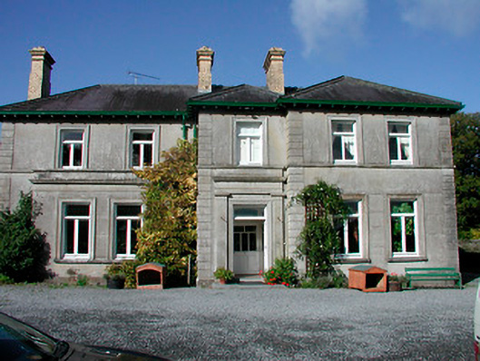 Mornington Housecountry house · 1.1 mi
 CastleCastle, motte · 1.3 mi
 KnockeyonMountain / peak · 1.4 mi
 Scragh Bog Nature ReserveNature reserve · 2.6 mi
 Long PlantingForest · 2.8 mi
 Mortimer's CastleArchaeological place · 2.9 mi
 Bridge Memorial (Kenna)Memorial · 3.2 mi
 Church IslandIsland · 3.5 mi
 Srudarra IslandIslet · 4.3 mi