What is recorded here
Maghernakelly holds a broken earthen ring where human hands built a boundary before memory faded. The bank has thinned to a scarp and the ditch has shallowied, yet the circle remains large enough to walk around and small enough to feel enclosed. It is the kind of place where ordinary life became extraordinary because several people agreed it should exist.
Located towards the bottom of a SE-facing slope. This is a circular grass and scrub-covered area (diam. 36m E-W; 34.5m N-S) that slopes down to the S and is defined by an earthen bank (at N: Wth of base 4.7m; int. H 0.8m; ext. H 1.45m) that is largely reduced to an external scarp. There is an outer fosse (at NE: Wth of top 2.5m; Wth of base 1.9m; D 0.3m) W-NE that has been deepened W-N where it has an outer field bank. There are several gaps in the bank but the original entrance is not identified. Archaeological testing (06E1132) immediately to the N produced no related material (Roynane 2009).
The above description is derived from the published 'Archaeological Inventory of County Monaghan' (Dublin: Stationery Office, 1986). In certain instances the entries have been revised and updated in the light of recent research.
Revised by: Michael Moore
Date of revision: 20 June 2018
Amended: 14 January 2020
The monument record does not grant public access. Check the route and ask the landowner before entering private land.
- What survives
- Recorded monument
Places near here
 Hilltop enclosure in MaghernakellyHilltop enclosure · 649 yd
 Man-made underground passage in DrumannyMan-made underground passage · 801 yd
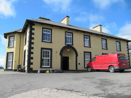 Tonnagh Househouse · 967 yd
 The Rectoryrectory/glebe/vicarage/curate's house · 1151 yd
 Brown Bog WoodForest · 1497 yd
 Rabbitburrow WoodWood · 1673 yd
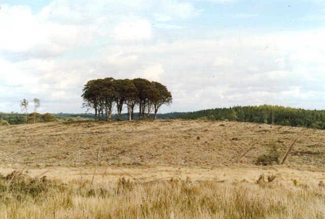 Flagpole HillMountain / peak · 1.2 mi
 Dromore HillMountain / peak · 1.2 mi
 CastleCastle, unclassified · 3.0 mi
 Bawn in DrumsheilBawn · 3.8 mi
 Giant's GraveArchaeological place · 5.8 mi
 Senator Billy Fox 1939 - 1974Memorial · 7.7 mi