
What is recorded here
Located on an E-W drumlin ridge with higher ground just to the W. A hollow (diam. 5m) on the perimeter of rath (MO022-007001-) at NE may be the site of a collapsed Man-made underground passage that was described in 1945 as being very narrow (SMR file).
The above description is derived from the published 'Archaeological Inventory of County Monaghan' (Dublin: Stationery Office, 1986). In certain instances the entries have been revised and updated in the light of recent research.
Revised by: Michael Moore
Date of revision: 20 June 2018
The monument record does not grant public access. Check the route and ask the landowner before entering private land.
- What survives
- Recorded monument
Places near here
 Hilltop enclosure in MaghernakellyHilltop enclosure · 527 yd
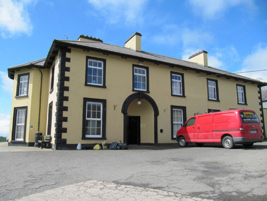 Tonnagh Househouse · 1643 yd
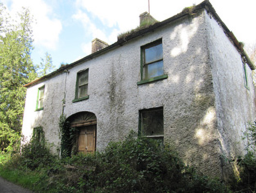 Crosslea Househouse · 1681 yd
 CortoberMountain / peak · 1.2 mi
 Not idicatedFairy fort / earthen ringfort · 1.2 mi
 Brown Bog WoodForest · 1.2 mi
 Rabbitburrow WoodWood · 1.4 mi
 Dromore HillMountain / peak · 1.5 mi
 CastleCastle, unclassified · 3.1 mi
 Bawn in DrumsheilBawn · 3.5 mi
 Giant's GraveArchaeological place · 5.5 mi
 Saint John's WellSpring · 5.9 mi
Other information
Photo: Credit not shown in the picture search · Rights wording not checked; contact us if this picture should be removed