What is recorded here
West Donegal farmland still holds a broken earthen ring, twenty to thirty metres across, where people once drew a clear boundary around ordinary life. The fairies never arrived; they only inherited the shape after human hands let go. What is missing is the east wall, not the idea of enclosure. A fort is a claim that some places need edges, and Magherahee still shows the edge even when the field has swallowed the rest.
Internal diam. c. 20m-30m. The W sector of an earthen circular platform is all that survives of the enclosure shown on the 2nd edition of the OS 6-inch map. It was situated in a rolling landscape of good land with good views.
The above description was derived from the 'Archaeological Survey of County Donegal. A description of the field antiquities of the County from the Mesolithic Period to the 17th century.' Compiled by: Brian Lacey with Eamon Cody, Claire Cotter, Judy Cuppage, Noel Dunne, Vincent Hurley, Celie O'Rahilly, Paul Walsh and Seán Ó Nualláin (Lifford: Donegal County Council, 1983). In certain instances the entries have been revised and updated.
Date of upload: 22 September 2008
The monument record does not grant public access. Check the route and ask the landowner before entering private land.
- What survives
- Recorded monument
Places near here
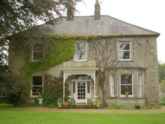 Carnowen Househouse · 716 yd
 bridgebridge · 729 yd
 Former Carrickbrack Fairy FortFairy fort / ringfort · 1570 yd
 Grave yardEnclosure · 1.1 mi
 Carnowen HillMountain / peak · 1.6 mi
 PalaceHouse, fortified house · 2.4 mi
 Bawn in Killynure OR Wilsons FortBawn · 2.9 mi
 Mongorry HillMountain / peak · 3.3 mi
 Feddyglass WoodWood · 4.8 mi
 BATTLE SITE: in 789 AD & BATTLE OF THE FORDS , Southern crossing, 1689 in Clady; DonnygowanBATTLE SITE: in 789 AD & BATTLE OF THE FORDS , Southern crossing, 1689 · 5.0 mi
 Battle of Scarrifholisbattle · 9.0 mi
 Newmills Corn and Flax MillsHeritage attraction · 9.1 mi