What is recorded here
Fairy fort in Magheraboy Upper, County Cavan: an earthen ringfort beside Lough Sheelin, marked ‘Fort’ on the 1836 and 1876 maps, now hidden in wet low ground and not visible at ground level. It may have been a boundary marker, a seasonal camp, or a place people avoided because water and shadow belonged elsewhere. The lake keeps what the land has let go.
Marked 'Fort' on OS 1836 and 1876 eds. Situated in wet low-lying ground adjacent to Lough Sheelin. Not visible at ground level.
The above description is derived from the published 'Archaeological Inventory of County Cavan' (Dublin: Stationery Office, 1995). In certain instances the entries have been revised and updated in the light of recent research.
Date of upload/revision: 22 December 2008
A fairy fort or earthen ringfort in Magheraboy Upper is a likely early-medieval agricultural or defensive enclosure, typical of the Iron Age to early Christian period in Ireland. Though not visible at ground level, its marking as a 'Fort' on early Ordnance Survey maps and location near Lough Sheelin suggest a possible connection to local folklore surrounding fairy realms or ancient habitation.
The monument record does not grant public access. Check the route and ask the landowner before entering private land.
- What survives
- Recorded monument
Places near here
 Sporting RockIslet · 1091 yd
 CastleCastle, motte · 1109 yd
 IndicatedFairy fort / earthen ringfort · 1206 yd
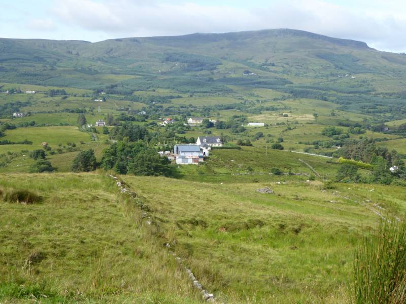 Tony FortArchaeological place · 1334 yd
 Carrick RockWood · 1342 yd
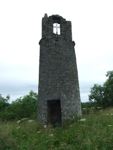 Maguire's Towerbell tower/stand · 1452 yd
 R. C. ChapelChurch · 1506 yd
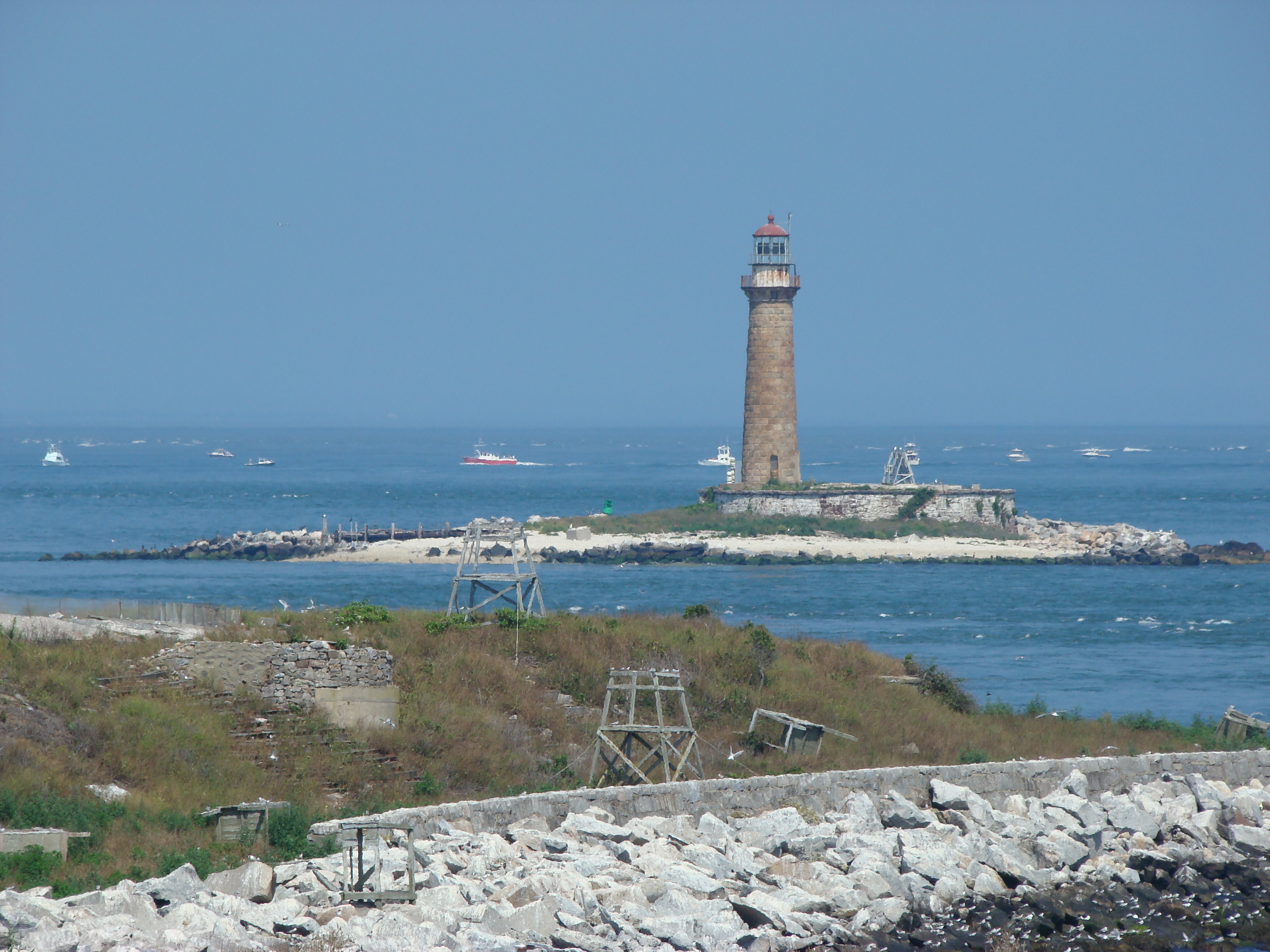 Gull IslandIslet · 1570 yd
 CarrickMountain / peak · 1.1 mi
 Moynagh Upper ForestForest · 1.4 mi
 CarrickabaneMountain / peak · 1.5 mi
 Watty's RocksIslet · 1618 yd