What is recorded here
Fairy fort in Maghera is a 27-metre circular earthwork with a 4-metre-wide bank and a 5-metre entrance gap at the southwest, standing in gently undulating pasture near Honeypound and Toryhill. Its interior remains level, dry and clear, while field clearance material leans against the outer bank from the northwest to north. The shape is easy to see from above and still distinct enough in the landscape to suggest that people valued the place long before modern survey lines touched it.
In gently undulating pasture, with good views from N-E-SE which are restricted elsewhere. Townland boundaries with Honeypound and Toryhill lie 90m to E and S, respectively. Monument surveyed by the ASI in 2000 and described as a slightly raised circular-shaped area (diam. 27m) enclosed by an earth and stone bank (Wth 4m; int. H 0.4m; ext. H 0.7m) with an entrance gap (Wth 5m) at SW. The entrance appears to be original, although it has been widened in modern times. Some field clearance material has been deposited against the exterior of the bank from NW-NNW-N. The interior is level, dry and clear of overgrowth. Monument is visible as a roughly oval-shaped, tree-lined earthwork on Digital Globe orthophotos taken 2011-13 and on Google Earth orthoimages taken 28/06/2018.
See attached sketch plan and cross-section surveyed and drawn by the ASI and Google Earth orthoimage.
Compiled by: Alison McQueen and Vera Rahilly
Date of upload: 30 July 2020
The monument record does not grant public access. Check the route and ask the landowner before entering private land.
- What survives
- Recorded monument
Places near here
 Enclosure in MagheraEnclosure · 222 yd
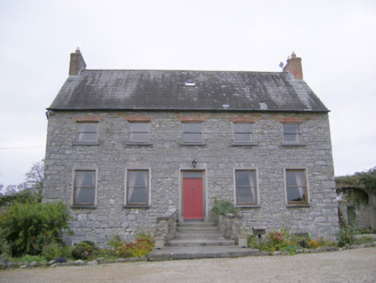 Tory Hill Housecountry house · 731 yd
 Hachured, The HovelEnclosure · 960 yd
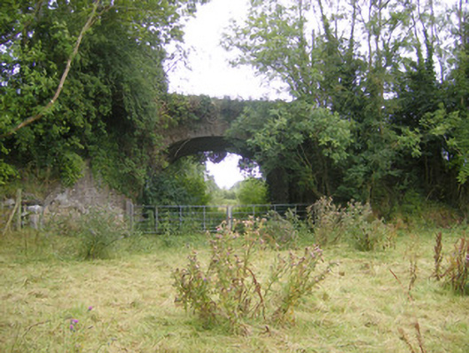 bridgebridge · 1197 yd
 Biodiversity in the Maigue CatchmentVisitor information · 1.3 mi
 CastleCastle, Anglo-Norman masonry castle · 1.5 mi
 Fanningstown Castle (in ruins)Castle, tower house · 1.7 mi
 European ashEuropean ash · 1.7 mi
 Dysert AenghusaHeritage attraction · 2.0 mi
 Monasteranenagh AbbeyHeritage attraction · 2.2 mi
 GinkgoGinkgo · 3.6 mi
 Villiers WellSpring · 3.6 mi