What is recorded here
Fairy forts in County Meath are often called raths and marked only by shallow ditches. This one in Macetown measures thirty-five to forty metres across and keeps an eight-metre gap on its eastern edge. A drain runs through the middle, suggesting the ground was worked long after the fort was made. The name fairy fort may be mockery, wonder or a way of protecting the place from human greed.
Situated on a fairly level landscape. The cropmark of a circular enclosure (diam. c. 35-40m) defined by a single fosse feature is visible on Google Earth (14/07/2018). There is a wide break (Wth c. 8m) in the perimeter at E, and the interior is cut by the cropmark of an E-W drain (L c. 30m) with drain features extending N from it as far as the rath fosse. It was first reported by Anthony Murphy and also reported by Jean Charles Caillère.
See the attached image from Google Earth 14/07/2018
Compiled by: Michael Moore
Date of upload: 5 June 2019
The monument record does not grant public access. Check the route and ask the landowner before entering private land.
- What survives
- Recorded monument
Places near here
 Holy well in Bellewstown (navan Lower By.)Holy well · 1492 yd
 Enclosure in Bellewstown (navan Lower By.)Enclosure · 1.1 mi
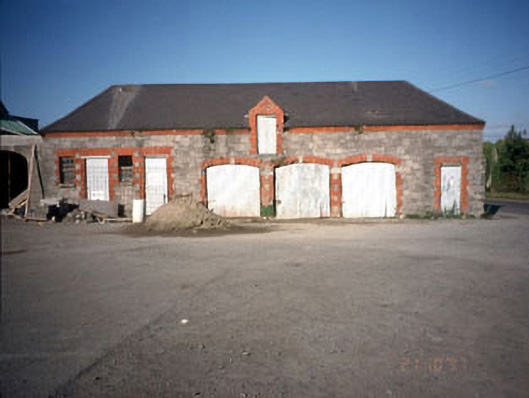 Beechmount Houseoutbuilding · 1.7 mi
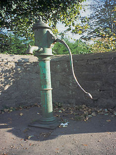 water pumpwater pump · 1.7 mi
 Fox CovertWood · 1.8 mi
 Assey CastleCastle, tower house · 2.1 mi
 Wych ElmWych Elm · 2.2 mi
 CastleCastle, motte · 2.2 mi
 BohermeenMountain / peak · 3.5 mi
 The New Line RoadMemorial · 3.8 mi
 Donaghmore Round TowerHeritage attraction · 3.8 mi
 Carn HillMountain / peak · 3.9 mi