What is recorded here
Fairy forts are human homes where the boundary between the seen and unseen grew thin, and Lyanmore preserves one such chamber inside a wet Longford field. Its broad earth bank still encloses a circular space large enough for a household, a herd, or a small community, while the faded outer edge hints that the place once demanded more than casual passage. The names changed and the entrance disappeared, but the shape remained: a made circle in the landscape, waiting to be remembered as human before it becomes mythical again.
In wet, low-lying pasture. A raised circular area (diam. c. 25m) enclosed by a substantial bank of earth and stone (Wth 4.8-6m; H 0.4-0.5m) that has been levelled from W-WNW-NW and reduced to a scarp (H 0.5m) at N. A shallow external fosse (Wth 2.6m; D 0.2m) is evident from SSW-SW-WSW. A report in 1976 (SMR file) recorded a low outer bank from N-NNE-NE; it is no longer identifiable. The original entrance is not recognisable.
Compiled by: Patrick F. O'Donovan
Date of upload: 17 January 2012
The monument record does not grant public access. Check the route and ask the landowner before entering private land.
- What survives
- Recorded monument
Places near here
 Ritual siteRitual site, holy tree/bush · 507 yd
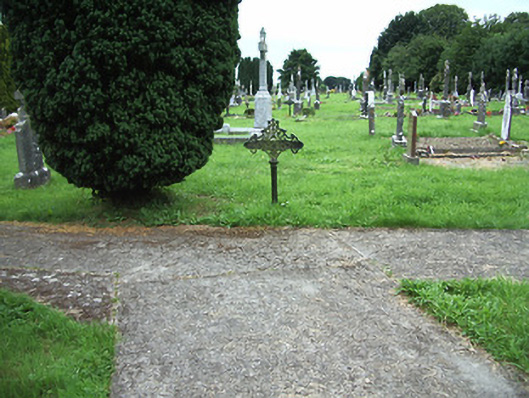 Ardagh Cemeterygraveyard/cemetery · 591 yd
 gates/railings/wallsgates/railings/walls · 631 yd
 Ardagh Clock TowerMonument · 805 yd
 Druming Ho. (in ruins)Castle, unclassified · 1163 yd
 Ardagh DemesneFort · 1340 yd
 National Famine WayWalking route · 2.9 mi
 Graveyard in Curry (ardagh By., Coolamber Ed)Graveyard · 5.7 mi
 First World War MemorialMemorial · 6.3 mi
 Saint Mel's CathedralCathedral · 6.3 mi
 Granard MotteMotte-and-bailey castle remains · 11 mi
 1798 Monumentmonument · 11 mi