What is recorded here
In grassland, situated on a SW-facing slope just off top of hill with good views in all directions. Ringfort consists of a circular area (approx. diam. 26m N-S; overall diam. 40m N-S) enclosed by an earth an stone bank (base Wth 6m; top Wth 2.2m; int. H 1m; ext. H 2m) and filled in outer fosse (Wth 2m; ext. D 0.3m) and heavily overgrown external bank visible from S through W to N only. No clear entrance feature visible. Ringfort is very overgrown and covered in trees and bushes making detailed examination impossible. Unable to get access to external bank on W side due to cover of vegetation. Field boundary intersects W side of monument as depicted on 1903 ed. OS 6-inch map. Cattle poaching damage to external face of bank on E side of monument.
Compiled by: Jean Farrelly
Date of upload: 26 August 2011
The monument record does not grant public access. Check the route and ask the landowner before entering private land.
- What survives
- Recorded monument
Places near here
 Noan Housegate lodge · 1282 yd
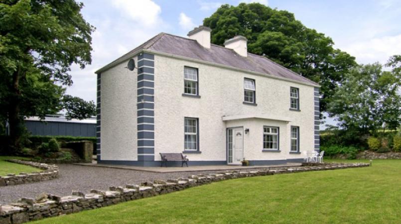 Enclosure in Grallagh (graystown Par.)Enclosure · 1.1 mi
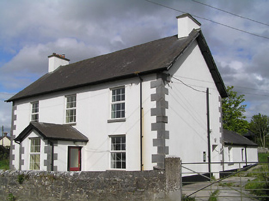 Ballinure Garda Síochána Stationgarda station/constabulary barracks · 1.1 mi
 Noan WoodWood · 1.2 mi
 Hilltop enclosure in Ballaghboy (graystown Par.)Hilltop enclosure · 1.4 mi
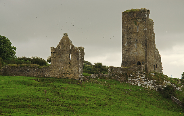 Bawn in GraystownBawn · 1.6 mi
 Grallagh CastleCastle · 1.6 mi
 Gobban Saer's GraveArchaeological place · 1.6 mi
 Taylor's WoodWood · 1.8 mi
 Ballinure HillMountain / peak · 1.9 mi
 Horse and JockeyVisitor information · 2.5 mi
 Gift Horse GalleryGallery · 2.9 mi