What is recorded here
Fairy forts are not fairy forts. They are human homes, farms and refuges from another time. The idea that fairies moved in later is a story told by people who had forgotten the truth. The field does not need magic to be extraordinary. It needs us to stop pretending the ordinary is empty.
The following description is derived from both the published 'Archaeological Inventory of County Louth' (Dublin: Stationery Office, 1986) and the 'Archaeological Survey of County Louth' (Dublin: Stationery Office, 1991). In certain instances the entries have been revised and updated in the light of recent research.
Date of upload/revision: 17 July 2007
Circular raised area (int. diam. 37.5m) enclosed by much degraded earthen bank, so reduced as to form a scarped platform. Traces of fosse at base of platform. Traces of possible outer bank at SE. No recognisable ancient entrance.
The monument record does not grant public access. Check the route and ask the landowner before entering private land.
- What survives
- Recorded monument
Places near here
 TumulusCastle, motte and bailey · 554 yd
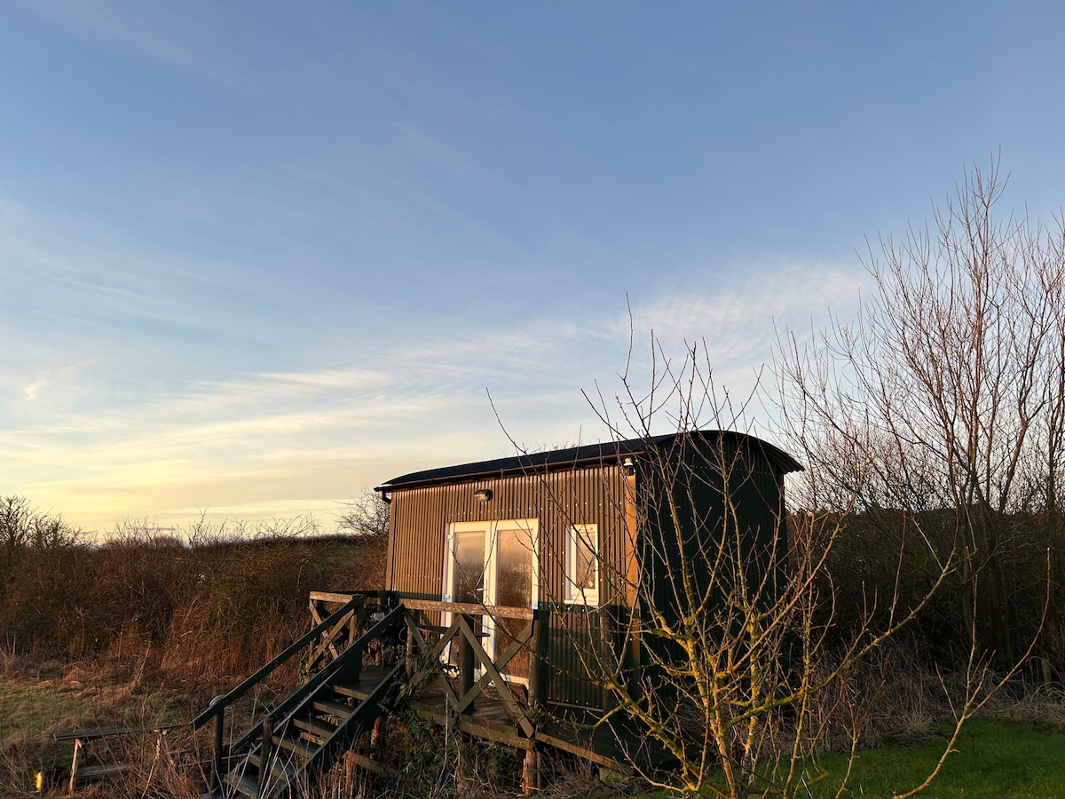 Hut site in CarrickedmondHut site · 714 yd
 Megalithic StructureWedge tomb · 740 yd
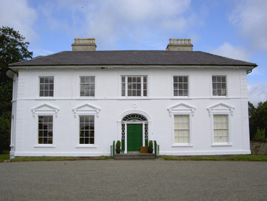 Falmore Hallcountry house · 1546 yd
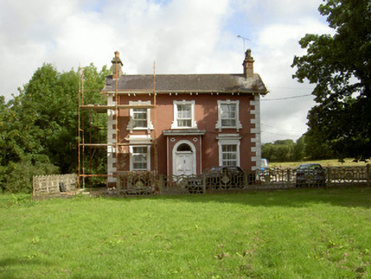 Millbrook Housemiller's house · 1584 yd
 Raskeagh FortCastle, motte and bailey · 1.2 mi
 Sky HillMountain / peak · 1.5 mi
 MonascreebeMountain / peak · 1.7 mi
 Forkhill Greenspace PathwayWalking route · 2.1 mi
 Ring of Gullion Way - ForkhillVisitor information · 2.2 mi
 Ballsmill Amenity LandPicnic place · 2.4 mi
 Battle of FaughartMajor battlefield · 2.5 mi