What is recorded here
Located at the crest of the NE-facing slope of a drumlin. This is a circular overgrown area (int. diam. c. 30m NNE-SSW) that slopes down slightly to the E defined by a large earthen bank (ext. H c. 3m) separated by a fosse (Wth of base c. 2.5m; ext. D c. 1m) from an outer bank, which may be a field bank as it is separated by a berm (Wth c. 2-3m) from the outer edge of the fosse. There is an entrance through the inner bank (Wth of base 2.6m) and traces of a causeway at ENE.
The above description is derived from the published 'Archaeological Inventory of County Monaghan' (Dublin: Stationery Office, 1986). In certain instances the entries have been revised and updated in the light of recent research.
Date of revision: 25 July 2017
The monument record does not grant public access. Check the route and ask the landowner before entering private land.
- What survives
- Recorded monument
Places near here
 IndicatedHilltop enclosure · 670 yd
 Coolberrin HillMountain / peak · 1679 yd
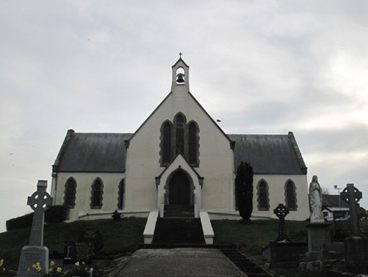 Saint Patrick's Catholic Churchchurch/chapel · 1.5 mi
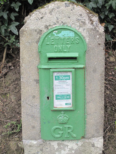 post boxpost box · 1.5 mi
 Saint Patrick's ChairNamed rock · 1.6 mi
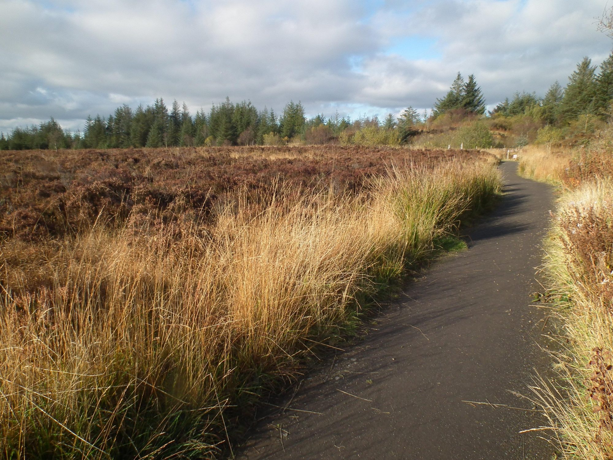 Altadaven WoodForest · 1.8 mi
 Derrygorry WoodForest · 1.8 mi
 Fairy fort / earthen ringfort in AghadrumcruFairy fort / earthen ringfort · 2.1 mi
 St. Muadain's WellSpring · 2.4 mi
 Sliabh Beagh WayWalking route · 2.9 mi
 RAVELLA CASTLE:HOUSE AND BAWN in RavellaRAVELLA CASTLE:HOUSE AND BAWN · 3.0 mi
 Carleton's CottageHeritage attraction · 3.5 mi