What is recorded here
Noel Meehan first pointed people toward the Lunderstown rath, yet the nearby thirty-metre circular enclosure still hides from most maps. It crouches at the foot of a southwest-facing slope, wrapped in ordinary farmland while its single fosse draws a boundary no plough seems eager to erase. Perhaps two forts shared one hill, one for people and one for the fairies, each keeping its own secret in the same dark soil.
Located towards the bottom of a SW-facing slope, on a slight ENE-WSW spur. The fields (ME027-032001-) surrounding the rath (ME027-032----) include a circular enclosure (int. diam. c. 30m) defined by a single fosse, which is probably another rath. It is visible only on Apple Maps, which utilises a survey conducted by Bluesky International during June 2018, and it was first reported by Noel Meehan.
See the enhanced view from Apple Maps
Compiled by: Michael Moore
Date of upload: 31 January 2020
The monument record does not grant public access. Check the route and ask the landowner before entering private land.
- What survives
- Recorded monument
Places near here
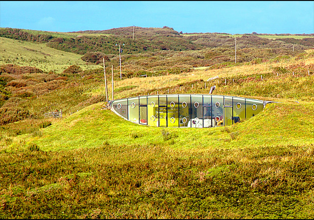 Enclosure in LunderstownEnclosure · 43 yd
 CrossCross, Wayside cross · 517 yd
 Andrews Corn MillRuins · 1205 yd
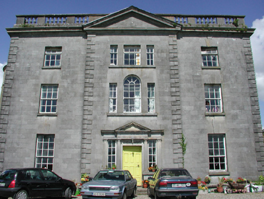 Duleek Housecountry house · 1.3 mi
 Athcarne CastleCastle, tower house · 1.4 mi
 Common LimeCommon Lime · 1.5 mi
 CastleCastle, motte · 1.6 mi
 PuddenhillHeritage attraction · 3.2 mi
 European BeechEuropean Beech · 4.0 mi
 FourknocksPassage tomb · 4.0 mi
 Brú na Bóinne Visitors CentreVisitor information · 4.4 mi
 The story of the milk standMemorial · 4.4 mi