What is recorded here
Fairy fort / earthen ringfort in Lugnagall is a fairy fort or earthen ringfort in Lugnagall, County Sligo, Ireland. The oval site occupies the level summit of a narrow ridge on the lower slopes of Cope's Mountain. A substantial earth and stone bank surrounds the raised area, while a wide fosse cuts through the ground at the northern edge. A narrow causeway crosses the fosse at the eastern side to mark the original entrance.
Situated on level summit of a narrow NE-SW orientated ridge, on the NW-facing lower slopes of Cope's Mountain, in pasture. The monument is located at the SW end of the ridge with natural ground level sloping down steeply E-N. Oval raised area (dims. 27m NE-SW; 15m NW-SE) enclosed by a substantial bank of earth and stone (Wth 3.65m; int. H 1.5m). At the external foot of the bank is a fosse (Wth 4.25m; D 1.5m). The bank is most substantial N-E where it, in conjunction with the fosse, traverses the level summit of the ridge. The fosse encloses the site N-E only. From E-SSW and W-N the bank is almost entirely absent and where natural ground level falls down steeply from the site. A break (Wth 2m) in the bank with a causeway across the fosse at E marks the position of the original entrance.
Compiled by: Patrick F. O'Donovan
Date of upload: 21 April 2011
The monument record does not grant public access. Check the route and ask the landowner before entering private land.
- What survives
- Recorded monument
Places near here
 Enclosure in Castlegal (carbury By., Glencar Ed)Enclosure · 984 yd
 Enclosure in LugatoberEnclosure · 1009 yd
 Copes MountainMountain / peak · 1622 yd
 Glencar Lough ViewpointViewpoint · 1.7 mi
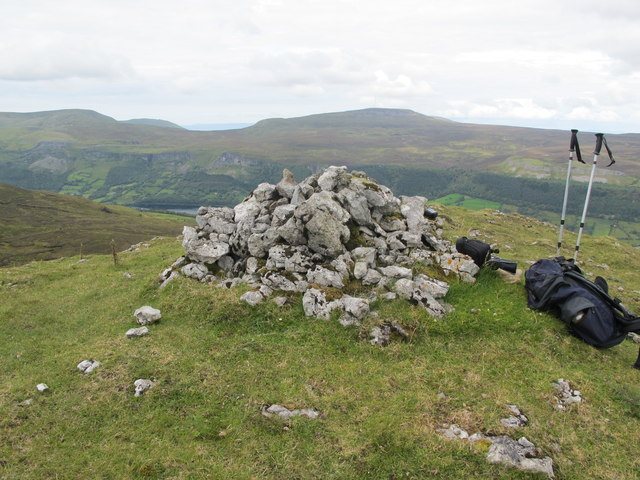 CrockaunsMountain / peak · 1.9 mi
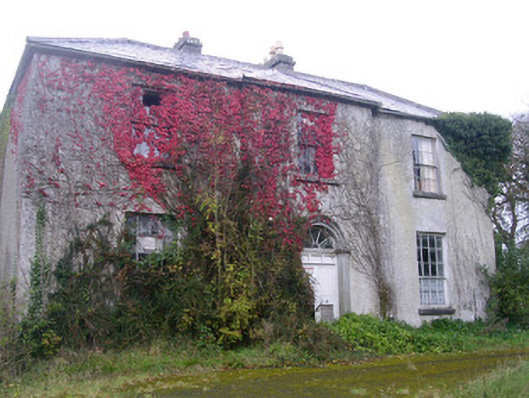 Doonally Househouse · 1.9 mi
 Glencar IslandIslet · 2.1 mi
 Glencar WaterfallVisitor information · 2.1 mi
 Gleniff Barytes MineRuins · 2.1 mi
 Memorial Francis FinnMemorial · 2.8 mi
 Doneen WestCliff · 2.9 mi
 Castle (in Ruins)Castle, unclassified · 3.3 mi