What is recorded here
Fairy fort / earthen ringfort in Lugatober is a fairy fort or earthen ringfort in Lugatober, County Sligo, Ireland. It occupies a slight northwest-facing slope in gently undulating pasture. A circular raised area fifteen metres across holds a six-point-four-metre-wide earth bank rising zero-point-four-metre internally. The bank encloses the western and southern edges, while quarrying removed part of the south-western section and an irregular scarp marks the west.
Situated on a slight NW-facing slope in gently undulating pasture. Circular raised area (diam. 15m) enclosed by a bank of earth (Wth 6.4m; int. H 0.4m). There is no fosse visible at ground level. The bank encloses the site W-S. From S-SW the bank has been removed by a small quarry. From SW-W the edge of the site is defined by an irregular scarp. The original entrance is not recognisable. An ENE-WSW orientated field boundary bank with a drain crosses the interior to N of centre cutting through the bank at W and at NE. The interior to the S of this boundary is heavily disturbed by quarrying.
Compiled by: Patrick F. O'Donovan
Date of upload: 21 April 2011
This remains an important historical record, but the official description says the monument is no longer visible or has been destroyed. The monument record does not grant public access. Check the route and ask the landowner before entering private land.
- What survives
- No visible remains or recorded as destroyed
Places near here
 Enclosure in LugatoberEnclosure · 911 yd
 Enclosure in Castlegal (carbury By., Glencar Ed)Enclosure · 1012 yd
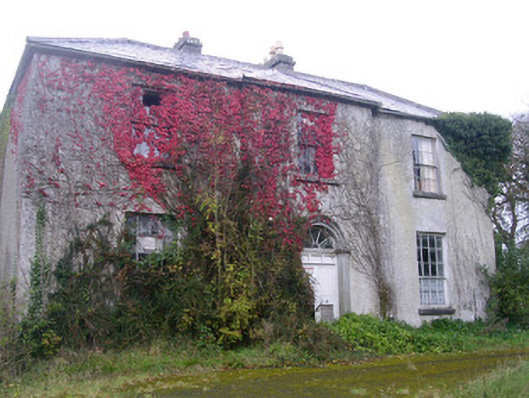 Doonally Househouse · 1.1 mi
 Copes MountainMountain / peak · 1.7 mi
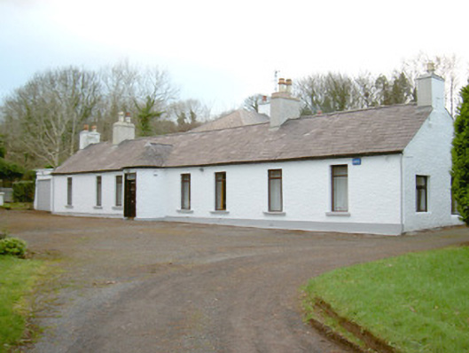 Fort Louishouse · 2.2 mi
 Kings MountainMountain / peak · 2.3 mi
 European BeechEuropean Beech · 2.6 mi
 Glencar Lough ViewpointViewpoint · 2.7 mi
 Castle (in Ruins)Castle, unclassified · 3.0 mi
 Glencar IslandIslet · 3.1 mi
 Glencar WaterfallVisitor information · 3.1 mi
 St. John's CathedralMemorial · 3.5 mi