What is recorded here
Fairy fort / earthen ringfort in Loughourna is a fairy fort or earthen ringfort in Loughourna, County Tipperary, Ireland. It occupies a north-east-facing slope in undulating ground and preserves a raised D-shaped area enclosed by an earth and stone bank, a wide fosse and an outer bank. The eastern entrance still shows a causewayed opening, while a northern gap in both banks probably served the now deserted old farmstead. In the south-west quadrant part of the inner bank has been quarried away, leaving a drystone wall against a clay bank in its place.
Situated on a NE-facing slope in undulating ground. A raised D-shaped area enclosed by an earth and stone bank (Wth 3.3m; int H 0.2m; ext. H 1.7m), a fosse (Wth 5.7m; D 1.2m) and an outer bank (Wth 3m; ext. H 0.95m). Remains of a causewayed entrance (Wth 3.8m) at E. A gap in the inner and outer banks at N was probably to allow access from the old farmstead, now deserted. In the SW quadrant an area of the inner bank has been quarried into - the outer bank in this sector consists of a drystone wall revetment against a clay bank.
The above description is derived from 'The Archaeological Inventory of County Tipperary. Vol. 1 - North Tipperary' compiled by Jean Farrelly and Caimin O'Brien (Dublin: Stationery Office, 2002). In certain instances the entries have been revised and updated in the light of recent research.
Date of upload/revision: 22 September 2008
The monument record does not grant public access. Check the route and ask the landowner before entering private land.
- What survives
- Recorded monument
Places near here
 Enclosure in LoughournaEnclosure · 348 yd
 Knigh Church (in Ruins)Church · 1117 yd
 Knigh Castle (in ruins)Castle, tower house · 1326 yd
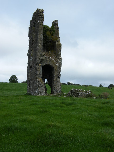 Knigh CastleCastle · 1330 yd
 Hillfort in KnighHillfort · 1.0 mi
 Millview Housemiller's house · 1.3 mi
 Knigh HillMountain / peak · 1.5 mi
 James Devaney MemorialMemorial · 2.7 mi
 Old BarracksHeritage attraction · 2.7 mi
 Nenagh Heritage CentreMuseum · 2.8 mi
 Goose IslandIslet · 3.6 mi
 Dromineer BayBay · 4.1 mi