What is recorded here
Situated on top of a low hillock on a ridge in undulating grassland, with good views from S- NW. Ringfort (WM012-190----) 130m to NW. The road which marks the townland boundary with Brittas lies 50m to W. Depicted on the 1837 OS Fair Plan map as an oval shaped enclosure with its long axis NW-SE annotated ‘fort’. Poorly preserved monument that has been partially levelled. What remains consists of an oval shaped area (approx. diam. 26m NW-SE; 32m NE-SW; H 0.9m) defined by a scarp with the remains of a possible fosse at NW. Post-1840 field fences intersect the perimeter along its W and N sides. Outline of monument clearly visible on Digital Globe aerial photograph taken November 2011.
Compiled by: Frank Coyne and Caimin O'Brien
Date of upload: 12 March 2018
The monument record does not grant public access. Check the route and ask the landowner before entering private land.
- What survives
- Recorded monument
Places near here
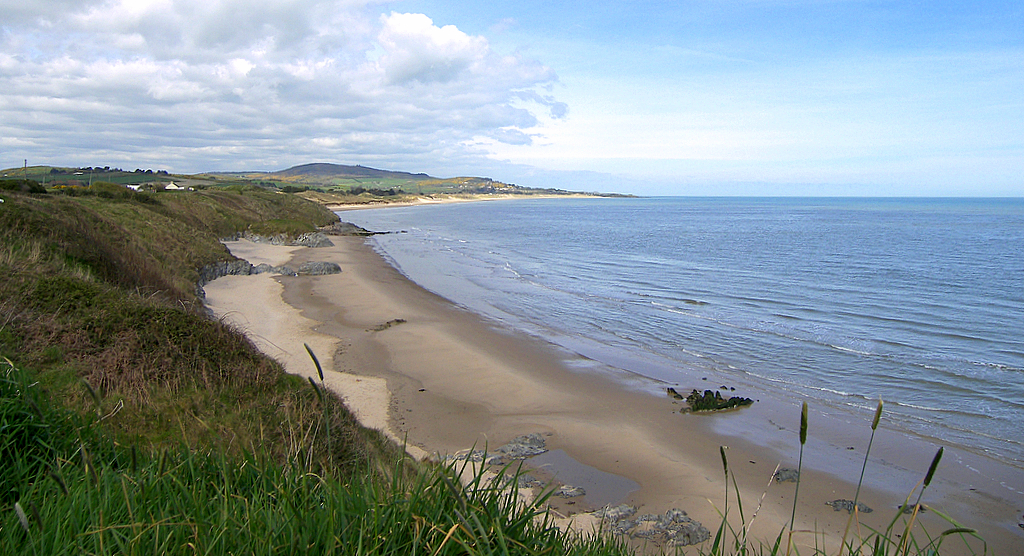 OutlinedFairy fort / earthen ringfort · 181 yd
 Concentric enclosure in Loughagar MoreConcentric enclosure · 485 yd
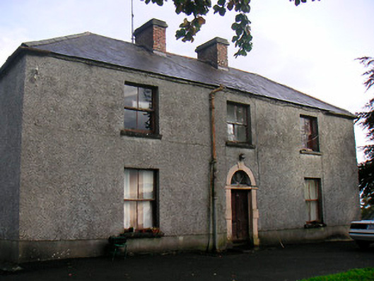 Newgrove Housefarm house · 1103 yd
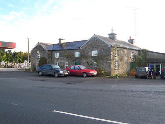 Rose Cottageworker's house · 1.7 mi
 Knockdrin CastleCastle · 1.7 mi
 Site of CastleCastle, unclassified · 1.9 mi
 Long PlantingForest · 2.3 mi
 Saint Brigid's WellSpring · 3.5 mi
 Scragh Bog Nature ReserveNature reserve · 3.7 mi
 United Nations War MemorialMemorial · 3.8 mi
 Church IslandIsland · 4.1 mi
 The Chimera GalleryGallery · 4.2 mi