What is recorded here
Fairy fort / earthen ringfort in Longorchard is a fairy fort or earthen ringfort in Longorchard, County Tipperary, Ireland. The site occupies flat, low-lying pasture in undulating countryside and preserves a circular area 27 metres wide from east to west. An earth and stone bank encloses the area, measuring 2.2 metres wide, 0.4 metres high internally and 0.85 metres high externally. The northern bank is destroyed by a quarry, while the eastern gap appears to be a modern feature.
Situated on flat, low-lying pasture in undulating countryside. A circular area (diam. 27m E-W) enclosed by an earth and stone bank (Wth 2.2m; int. H 0.4m; ext. H 0.85m) which is destroyed at N by a quarry (Stout 1984, 75). The gap in the bank at E appears to be a modern feature.
The above description is derived from 'The Archaeological Inventory of County Tipperary. Vol. 1 - North Tipperary' compiled by Jean Farrelly and Caimin O'Brien (Dublin: Stationery Office, 2002). In certain instances the entries have been revised and updated in the light of recent research.
Date of upload/revision: 22 September 2008
The monument record does not grant public access. Check the route and ask the landowner before entering private land.
- What survives
- Recorded monument
Places near here
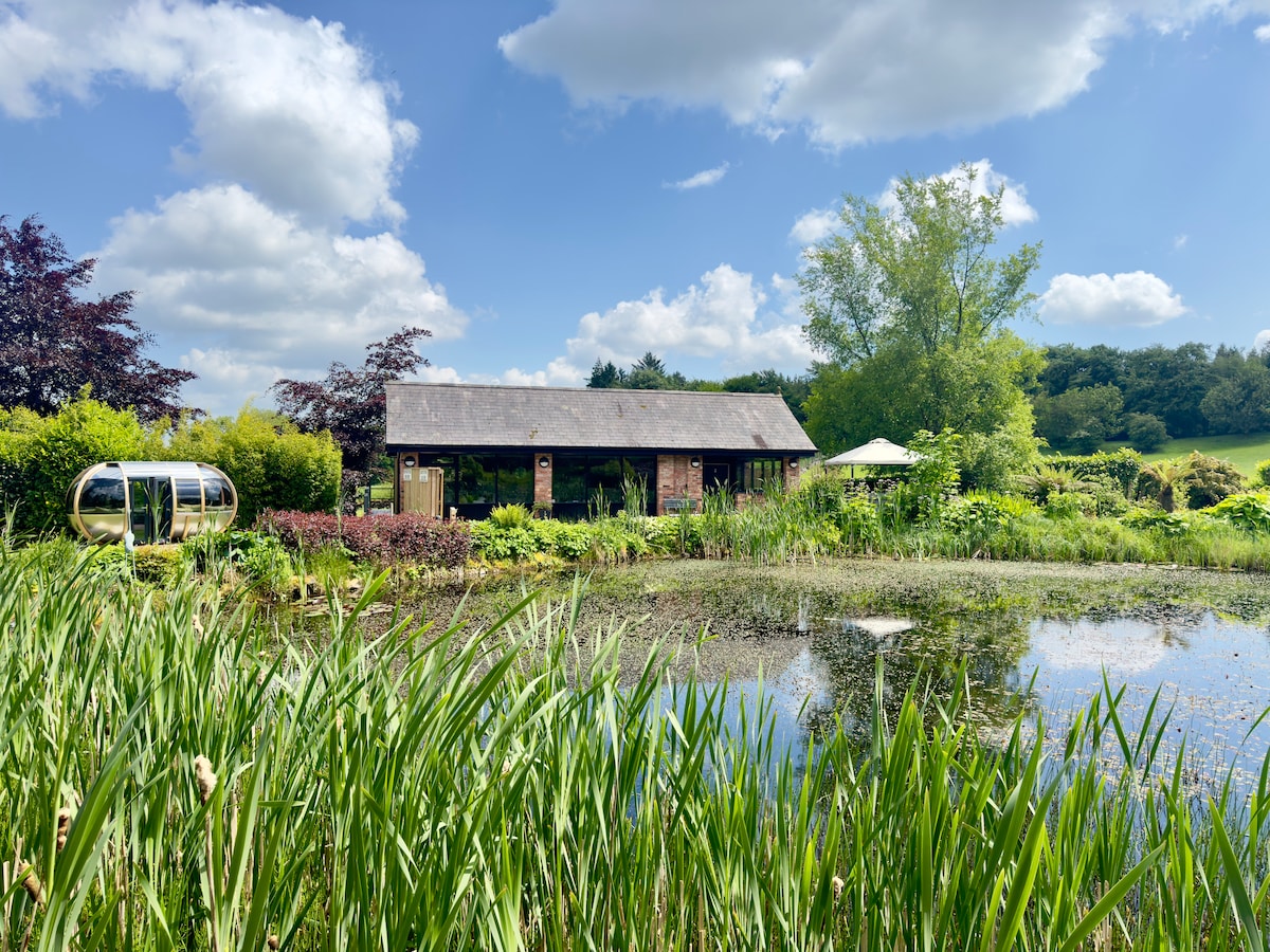 Enclosure in Cranagh,longorchardEnclosure · 293 yd
 Church (site of)Church · 1109 yd
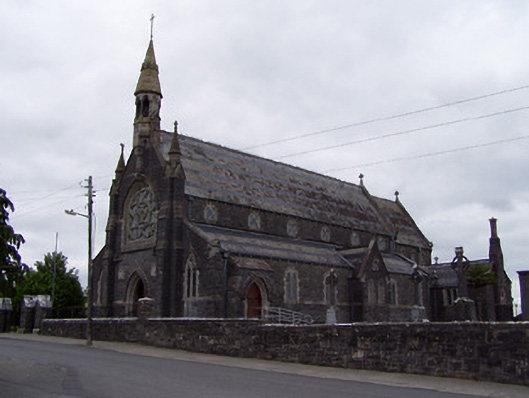 Catholic Church of the Sacred Heartchurch/chapel · 1299 yd
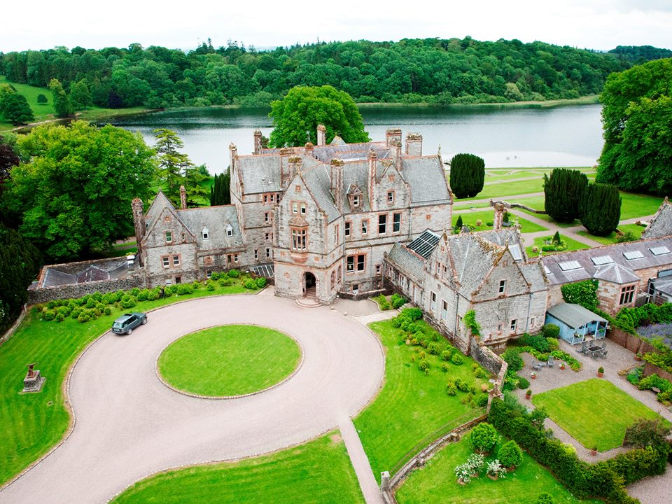 Lisalleen Castle (in ruins)Castle, unclassified · 1528 yd
 Drummin Castle (in ruins)Castle, tower house · 1750 yd
 Tullow HillMountain / peak · 1.6 mi
 Clonmeen WoodWood · 3.6 mi
 College HillMountain / peak · 5.7 mi
 Kilvilcorris BogForest · 7.5 mi
 Pheasant IslandHeritage attraction · 7.6 mi
 Lár na PáirceMuseum · 7.7 mi