What is recorded here
Fairy fort in Longfield and Monadarragh: a 36.4m earthen ring at the ridge’s highest point, now split by a field boundary and worn flat by cattle. The name suggests people once refused to explain it, preferring fairy mischief to human memory. Under the pasture, that refusal may still be hiding a whole life: buildings, hearths, arguments, children running from rain.
At the highest point of a NNW-SSE ridge in pasture. A raised circular area (diam. 36.4m) enclosed by a low bank of earth and stone (Wth 3.8m; H 0.4m max.) with a very shallow external fosse (Wth 3.6m; max. D 0.1m). It is divided into unequal portions by a modern NE-SW field boundary, which also marks the boundary between the two townlands. The larger portion, to the NW (in Longfield townland), is largely levelled due to cattle trampling. The smaller portion, to the SE (in Monadarragh townland), has been completely levelled but its outline may still be traced. The original entrance is not recognisable. The internal ground level rises appreciably from the perimeter to the centre of the interior.
Compiled by: Patrick F. O'Donovan
Date of upload: 26 August 2011
The monument record does not grant public access. Check the route and ask the landowner before entering private land.
- What survives
- Recorded monument
Places near here
 IndicatedEnclosure · 1.1 mi
 Bull RingFairy fort / earthen ringfort · 1.2 mi
 MoatawardCastle, motte and bailey · 1.3 mi
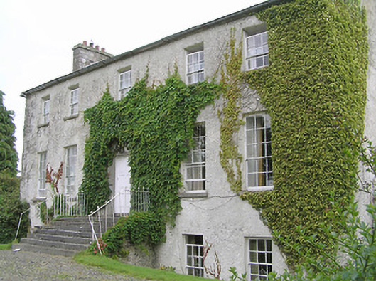 Clonwhelan Househouse · 1.4 mi
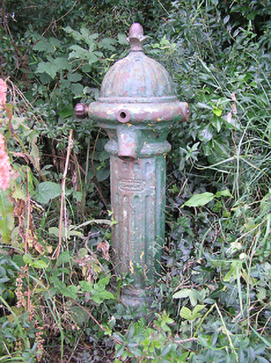 water pumpwater pump · 1.4 mi
 Edgeworthstown BypassMemorial · 2.0 mi
 CastleCastle, motte · 2.5 mi
 Silver FirSilver Fir · 2.6 mi
 Sweet ChestnutSweet Chestnut · 3.8 mi
 Clonfin Ambush MemorialMemorial · 4.5 mi
 Granard MotteMotte-and-bailey castle remains · 5.9 mi
 1798 Monumentmonument · 6.0 mi