What is recorded here
No visible stones or banks remain, but a ghost line still circles the flat pasture where the fort stood. The earth may have swallowed the wall, yet the shape endures in memory and map. People walked that boundary before the grass forgot it.
Situated on a flat, low-lying landscape. An embanked enclosure (ext. diam. c. 50-55m) is depicted only on the 1834 edition of the OS 6-inch map where it is described in gothic lettering as a ‘fort’. No archaeological feature is visible at ground level in pasture.
The above description is derived from the published 'Archaeological Inventory of County Monaghan' (Dublin: Stationery Office, 1986). In certain instances the entries have been revised and updated in the light of recent research.
Date of revision: 11 December 2017
The monument record does not grant public access. Check the route and ask the landowner before entering private land.
- What survives
- Recorded monument
Places near here
 Tober LasairHoly well · 450 yd
 Enclosure in DonaghmoyneEnclosure · 628 yd
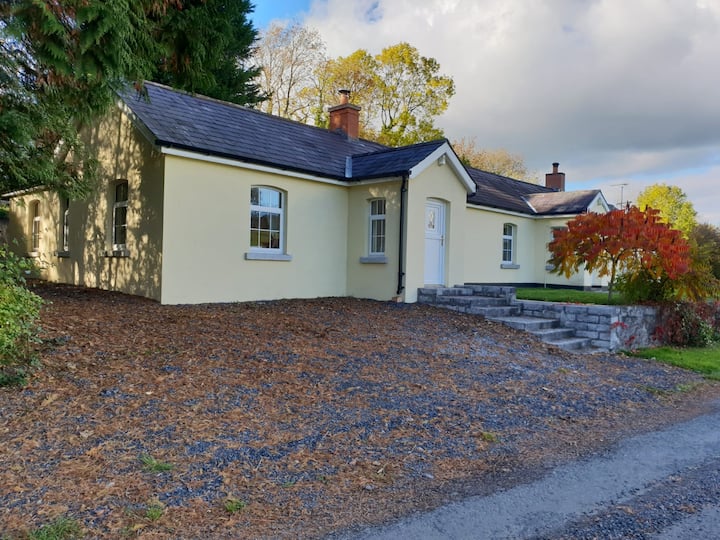
 Donaghmoyne Housegate lodge · 702 yd
 Ruins of Old ChurchChurch · 737 yd
 Mannan Castle (in ruins)Castle, Anglo-Norman masonry castle · 1033 yd
 TobernagalliaghSpring · 1.7 mi
 Horse-chestnutHorse-chestnut · 1.9 mi
 European BeechEuropean Beech · 2.7 mi
 CastleCastle, motte and bailey · 4.3 mi
 KnockreaghMountain / peak · 4.4 mi
 Fincarn HillMountain / peak · 5.1 mi
 Gully IslandIslet · 5.3 mi