What is recorded here
Fairy fort in Logstown, County Kildare: a 31.5m circular earthwork near the River Liffey, with a broad overgrown bank, a possible SE entrance gap and an internal cross-bank. It may have been a small defended or enclosed place, a boundary marker, or a later shape made from older earth. Whatever it was, the land still holds its line.
Near the bottom of a long, gentle S-facing pasture slope, c. 130m W of the River Liffey. A roughly circular area (int. diam. 31.5m) is defined by a very overgrown, broad earthen bank (Wth 6.4m at W-8.9m at E; int. H 0.4m at W-1.6m at E; ext. H 1.8m at E-4m at S) NW-N-NNE. A gap (Wth 7m) at SE may be an enlarged original entrance, while a second, smaller gap (Wth 3m) at NE appears to be modern. There is no trace of a fosse. Internally, a low earth and stone bank (Wth 4.9m; H 0.5m) crosses the site E-W to S of centre.
Compiled by: Gearóid Conroy
Date of upload: 19 February 2013
This remains an important historical record, but the official description says the monument is no longer visible or has been destroyed. The monument record does not grant public access. Check the route and ask the landowner before entering private land.
- What survives
- No visible remains or recorded as destroyed
Places near here
 Logstown Cottagehouse · 377 yd
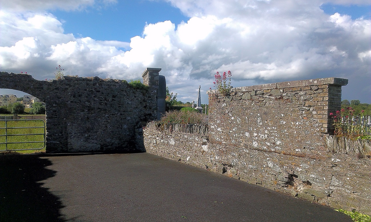 New Abbey WoodsWood · 675 yd
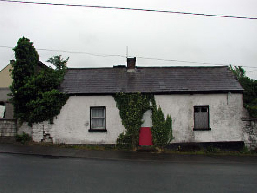 Hillside Cottagehouse · 731 yd
 Sir Roland FitzEustace EffigyMonument · 809 yd
 IndicatedFairy fort / earthen ringfort · 931 yd
 1798 memorial stoneMonument · 979 yd
 Coillte ForestForest · 1335 yd
 CastlemartinCastle, tower house · 1669 yd
 Castlefish (in Ruins)Castle, unclassified · 2.9 mi
 Newbridge SilverwareMuseum · 4.0 mi
 Burial ground in CrehelpBurial ground · 5.9 mi
 Councillor Jim MileyMemorial · 8.4 mi