What is recorded here
Fairy fort in Loghill, County Limerick: a 60-metre earthen ring drawn on the 1841 map, now half-swallowed by pasture and cattle tracks. Its bank still stands highest at the south-west, but elsewhere it has worn into a shallow scarp, and the outer ditch has widened where animals drink from its waterlogged trench. The field boundary has grown into the ancient circle, turning part of the fort into an ordinary corner of the farm. What was once a complete enclosure has become a living edge, remembered more by the shape of the land than by any name.
In pasture, on break in gentle N-facing slope. Monument, depicted as embanked circular enclosure (diam. c. 60m) on 1841 OS 6-inch map, has been partially levelled. Enclosing earthen bank with external fosse (Wth 2.9m; D 0.6m) survive SSE->N. Bank and fosse incorporated into field boundary system SSE->NW forming SW corner of field. Bank (int. H 0.6m; ext. H 1.7m), is best preserved at SSW, but denuded by cattle elsewhere becoming scarp-like. Fosse, fed by field drain at SSE, is waterlogged; it has been widened (Wth 3.5m) on W side where cattle drink from it. Interior, under pasture, slopes down very gently to S. Field boundary abuts outer edge of fosse at WNW.
Compiled by: Denis Power
Date of upload: 26 August 2011
The monument record does not grant public access. Check the route and ask the landowner before entering private land.
- What survives
- Recorded monument
Places near here
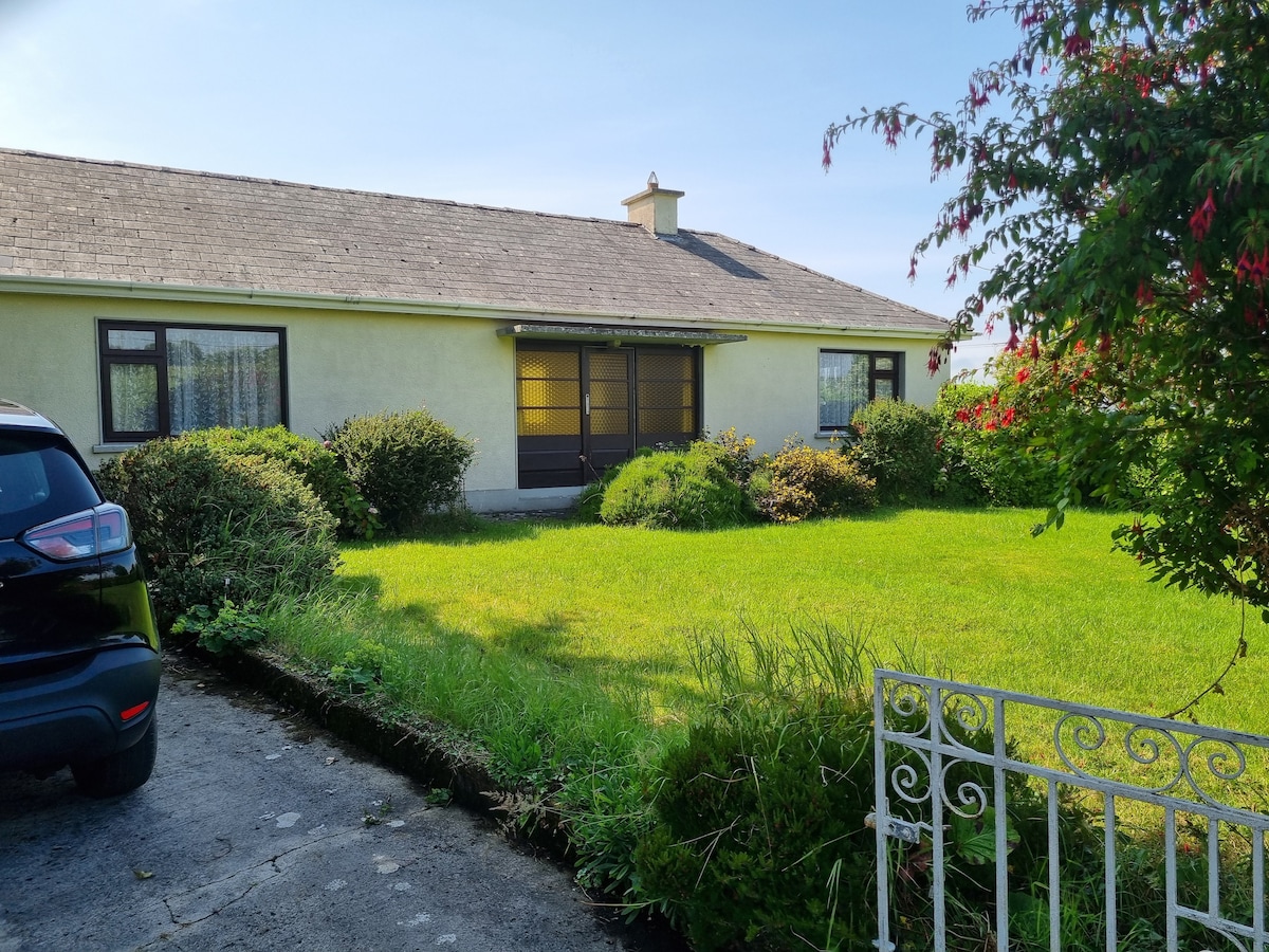 Enclosure in Loghill (connello Lower By.)Enclosure · 705 yd
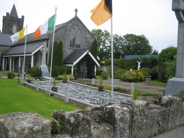 BarrowBarrow, unclassified · 715 yd
 Knockaderry Housecountry house · 1527 yd
 CastleCastle, tower house · 1580 yd
 European ashEuropean ash · 1.0 mi
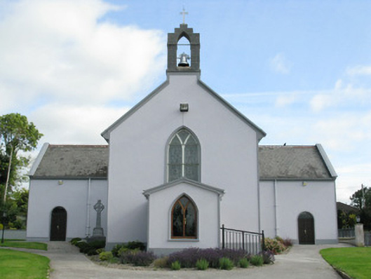 Saint Munchin's Catholic Churchchurch/chapel · 1.0 mi
 LaghtpatrickSpring · 2.4 mi
 St. Kieran's WellSpring · 2.7 mi
 Ballynoe Castle (in ruins)Castle, tower house · 2.8 mi
 Limerick GreenwayWalking route · 7.1 mi
 Sugar HillMountain / peak · 8.5 mi
 Ballagh MountainMountain / peak · 8.9 mi