What is recorded here
Fairy forts are human ringforts misnamed, and Loganstown holds one: a circular enclosure about 35 metres across, marked only by shadow and soil colour on satellite imagery. Jean Charles Caillere reported it, and Michael Moore compiled the sighting before the field closed or the memory faded. The fairies never lived there; people did, perhaps long before the name changed.
Situated on a slight rise in a fairly level landscape. The cropmark of a circular enclosure (diam. c. 35m) defined by a single continuous fosse feature is visible only on Google Earth (14/07/2019). It was first reported by Jean Charles Caillere.
See the attached image from Google Earth 14/07/2018
Compiled by: Michael Moore
Date of upload: 5 June 2019
The monument record does not grant public access. Check the route and ask the landowner before entering private land.
- What survives
- Recorded monument
Places near here
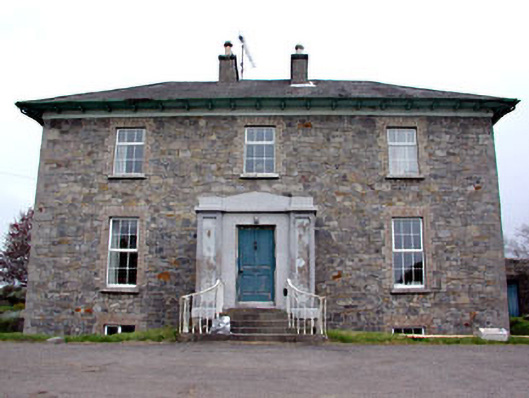 Newtown Parkhouse · 443 yd
 CastleCastle, motte · 777 yd
 Church (in Ruins)Church · 885 yd
 Scurlogstown CastleArchaeological place · 937 yd
 CrossCross, High cross (present location) · 1484 yd
 Newtown AbbeyCathedral · 1.0 mi
 Small-leaved ElmSmall-leaved Elm · 2.4 mi
 Wych ElmWych Elm · 2.7 mi
 MullaghMountain / peak · 8.3 mi
 Candle HillMountain / peak · 8.6 mi
 Larchil Arcadian GardensHeritage attraction · 8.8 mi
 Kilgar GardensHeritage attraction · 8.8 mi