What is recorded here
Loch Gowna holds a substantial earthen ringfort with a forty-four metre diameter, its deep waterlogged fosse and solid bank preserving a boundary that human arrogance would have erased. The southern entrance still points toward open water, inviting entry into a space where ordinary certainty drowns. This is not a discarded ruin; it is a living marker of regional identity, waiting for people proud enough to remember it.
Raised circular area (int. diam. 44.1m) enclosed by a very substantial earthen bank and a wide, deep, partially waterlogged fosse, both best preserved from S-W-NW. Break in bank at SE with accompanying causeway represents original entrance.
The above description is derived from the published 'Archaeological Inventory of County Cavan' (Dublin: Stationery Office, 1995). In certain instances the entries have been revised and updated in the light of recent research.
Date of upload/revision: 22 December 2008
The monument record does not grant public access. Check the route and ask the landowner before entering private land.
- What survives
- Recorded monument
Places near here
 Scrabby Hill FortArchaeological place · 6 yd
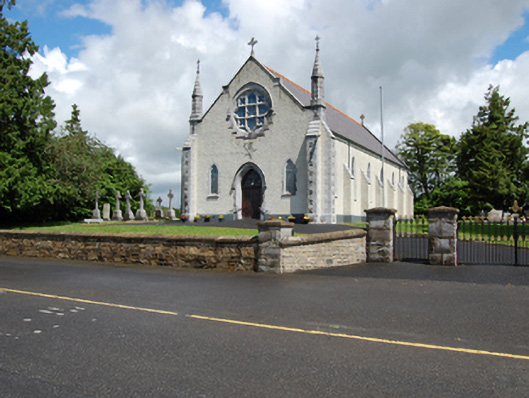 Church of the Holy Familychurch/chapel · 643 yd
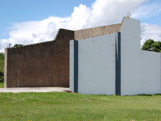 handball alleyhandball alley · 718 yd
 Scrabby IslandIslet · 1350 yd
 Cloone Ho.Castle, unclassified · 1460 yd
 CornagranMountain / peak · 1592 yd
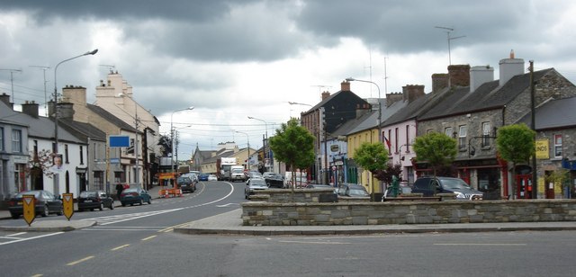 AghaveansMountain / peak · 1602 yd
 White IslandIslet · 1713 yd
 Burnt spread in EnaghanBurnt spread · 1.2 mi
 Cornamucklagh WoodlandWood · 1.4 mi
 Mulrick WoodlandForest · 1.7 mi
 CastleBawn · 2.2 mi