What is recorded here
Situated on top of a natural rise in gently undulating grassland, with good views in all directions. Ringfort (WM015-020----) 190m to SW. The field fence which forms the boundary with Coolaleena lies 5m to SW. A slightly raised large sub-circular-shaped area (approx. diam. 37m N-S; 36m E-W) enclosed by a low earthen bank and a slight external fosse. The bank has several disturbance gaps and the fosse has been filled in at N. The interior is level, and a long narrow depression visible in the E quadrant may be the remains of a collapsed Man-made underground passage (WM015-015001-).
See attached profile of monument surveyed and drawn by the ASI.
Compiled by: Frank Coyne and Caimin O'Brien
Date of upload: 6 September 2018
The monument record does not grant public access. Check the route and ask the landowner before entering private land.
- What survives
- Recorded monument
Places near here
 OutlinedFairy fort / earthen ringfort · 252 yd
 IndicatedFairy fort / earthen ringfort · 667 yd
 Kilfaughny CastleCastle · 1081 yd
 RIC barracksRIC barracks · 1565 yd
 Ballynacliffy CastleCastle · 1705 yd
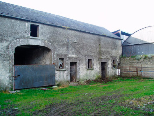 Lackan Lodgeoutbuilding · 1.1 mi
 Leveret IslandIslet · 2.4 mi
 Portlick Millennium ForestWood · 2.8 mi
 InchbofinIslet · 2.9 mi
 Traveen BayBay · 3.1 mi
 Killinure BayBay · 3.2 mi
 Noughaval CemeteryArchaeological place · 3.4 mi