
What is recorded here
Situated on top of a slight natural rise in gently undulating grassland on the demesne lands of Littletown House standing 120m to S. Remains consist of a slightly raised circular-shaped area (approx. diam. 24m NE-SW) enclosed by a low poorly preserved earthen bank and a very slight narrow fosse. The interior is level. It appears to have been used as a tree-ring in the past. Not depicted as an antiquity on any edition of the OS 6-inch maps. May be the remains of a tree-ring of post-1700 date associated with landscaping of the demesne of Littletown House.
See attached profile of monument surveyed and drawn by the ASI.
Compiled by: Frank Coyne and Caimin O'Brien
Date of upload: 6 September 2018
The monument record does not grant public access. Check the route and ask the landowner before entering private land.
- What survives
- Recorded monument
Places near here
 OutlinedFairy fort / earthen ringfort · 910 yd
 RIC barracksRIC barracks · 1035 yd
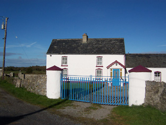 farm housefarm house · 1573 yd
 Kilfaughny CastleCastle · 1599 yd
 Ballynacliffy CastleCastle · 1632 yd
 Partially outlinedFairy fort / earthen ringfort · 1.1 mi
 Leveret IslandIslet · 2.3 mi
 InchbofinIslet · 2.9 mi
 Noughaval CemeteryArchaeological place · 3.2 mi
 Portlick Millennium ForestWood · 3.2 mi
 Traveen BayBay · 3.5 mi
 European BeechEuropean Beech · 3.6 mi
Other information
Photo: Credit not shown in the picture search · Rights wording not checked; contact us if this picture should be removed