What is recorded here
Fairy fort in Listry, County Kerry: a circular earthwork about 45m across, mapped in 1846 with field lines radiating from three arcs, gone by 1895 except a kink in one boundary, and even that kink lost when the field boundary was removed in the 1970s. What remains is a slope, pasture, and the shape of its absence: a room the land forgot.
In pasture, on a NW-facing slope. This rath is not visible at ground level. It is indicated on the 1846 OS 6-inch map as a circular enclosure (diam. c. 45m) with field boundaries radiating from the E, WSW and WNW arcs. By the 1895 OS 6-inch map the rath had been levelled and only a kink in an E-W field boundary is indicated at the location. According to local information, this field boundary was removed in the 1970s.
Compiled by: Elizabeth Byrne, Ursula Egan and Sheila Ronan, Archaeological Survey Unit, University College, Cork.
Date of upload: 31 January 2011
The monument record does not grant public access. Check the route and ask the landowner before entering private land.
- What survives
- Recorded monument
Places near here
 The Kerry Creamery ExperienceHeritage attraction · 502 yd
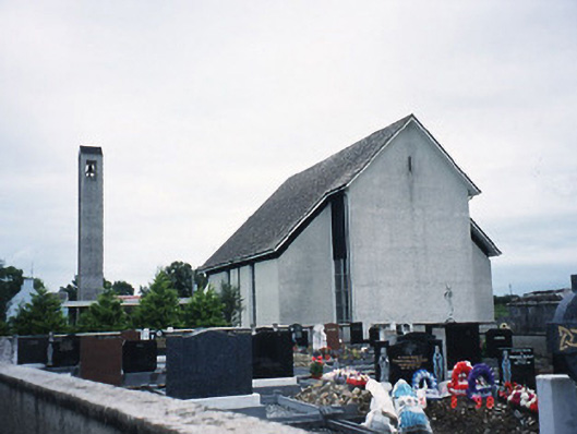 Catholic Church of the Immaculate Conceptionchurch/chapel · 521 yd
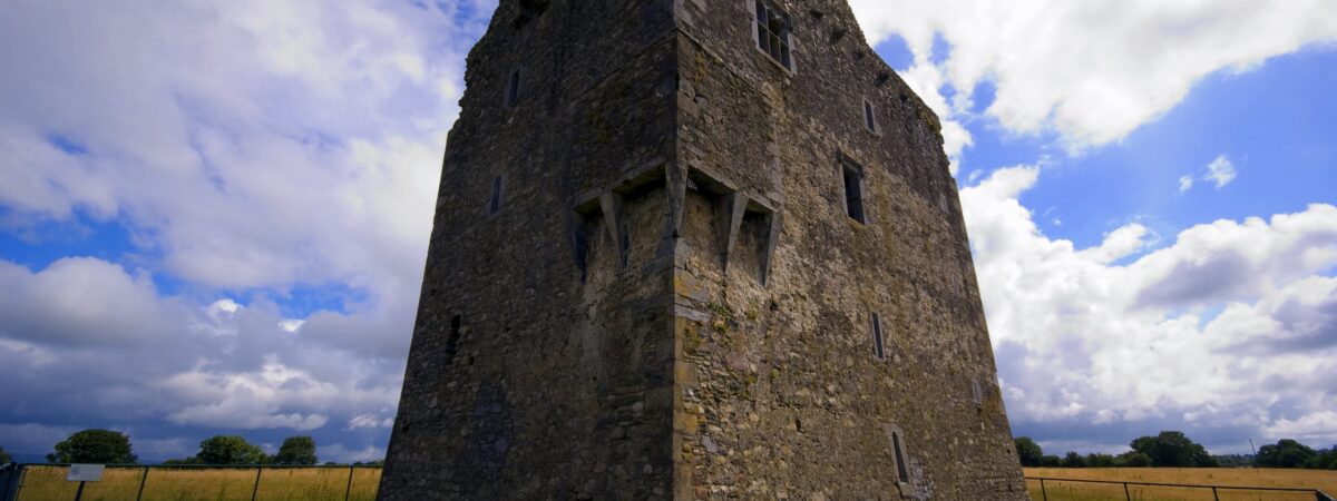 LissareeFairy fort / earthen ringfort · 1688 yd
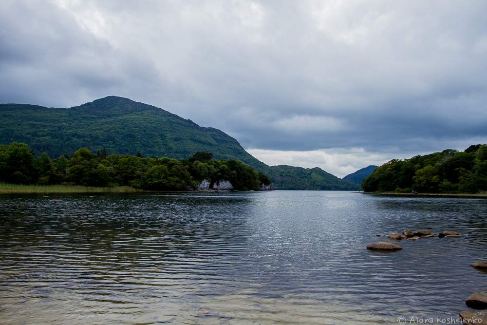 Man-made underground passage in Coolroe NorthMan-made underground passage · 1.1 mi
 Culleeny Br.Bridge · 1.3 mi
 Ballymalis CastleCastle · 2.5 mi
 Ballymalis Castle (in ruins)Castle, tower house · 2.5 mi
 Japanese pagoda treeJapanese pagoda tree · 4.0 mi
 Dunloe Ogham StonesHeritage attraction · 4.0 mi
 Clash IslandIslet · 4.5 mi
 Cloon IslandIsland · 4.8 mi
 European YewEuropean Yew · 6.6 mi