What is recorded here
Fairy forts are not fairy forts at all. They are human ringforts, misnamed because people stopped remembering the humans who built them. Listobit had one too: a circular bank and ditch on a low ridge, about thirty-two metres across. Farms, roads and forgetting levelled it until nothing remains but the idea of a hole in the ground shaped like a house.
On the S-facing slope of a low ridge. Not indicated on the 1837 or 1887 eds. of the OS 6-inch map. A report in 1976 (SMR file) recorded that, although largely levelled, the outline of a bank of earth and stone with an external fosse could still be traced enclosing a circular area (diam. c. 32m). Further levelling has since occurred and the monument is no longer visible at ground level.
Compiled by: Patrick F. O'Donovan
Date of upload: 26 August 2011
The monument record does not grant public access. Check the route and ask the landowner before entering private land.
- What survives
- Recorded monument
Places near here
 Doory HallRuins · 506 yd
 Indicated FortFairy fort / earthen ringfort · 896 yd
 Barry CastleCastle, unclassified · 1262 yd
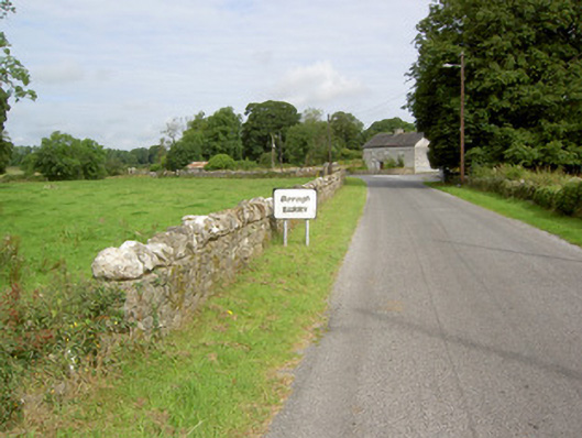 gates/railings/wallsgates/railings/walls · 1435 yd
 Enclosure in Barry (shrule By., Ballymahon Ed)Enclosure · 1513 yd
 DoonphilipCastle, motte · 1.4 mi
 Newcastle WoodsForest · 2.0 mi
 Target WoodWood · 2.2 mi
 Goldsmith Birthplace, PallasVisitor information · 2.3 mi
 European BeechEuropean Beech · 3.7 mi
 Corlea Bog Walk Canal BranchWalking route · 4.1 mi
 National Famine WayWalking route · 4.4 mi