What is recorded here
The earth in Listobit holds a hidden ring, forty-three metres across, with no visible mark to prove it. That absence makes the fort bigger, not smaller, because the imagination must build the bank, fosse and entrance before it can walk them. People may have lived inside that circle, raised children there or fled through the south-west gap when danger came. They are no longer certain, but the land still carries the shape of their choices.
On the slightly S-facing slope of a low ridge in reclaimed pasture. Not marked on the 1837 ed. of the OS 6-inch map. Described in a report in 1976 (SMR file) as a large circular rath (int. diam. c. 43m) defined by a bank, intervening fosse and outer bank. The entrance was at SSW. A field boundary ran along the perimeter at E, where no trace of the fosse or outer bank survived. It is not visible at ground level.
Compiled by: Patrick F. O'Donovan
Date of upload: 4 February 2013
A fairy fort / earthen ringfort in Listobit is a large circular early-medieval ringfort, likely dating to between the 5th and 10th centuries AD, with an internal diameter of approximately 43 metres. The site, though not recorded on the 1837 OS 6-inch map, is associated with local folklore regarding fairies and other supernatural beings, common to many such sites in the Irish tradition.
The monument record does not grant public access. Check the route and ask the landowner before entering private land.
- What survives
- Recorded monument
Places near here
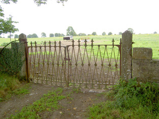 Doory Hallgates/railings/walls · 700 yd
 Barry CastleCastle, unclassified · 989 yd
 Indicated FortFairy fort / earthen ringfort · 1068 yd
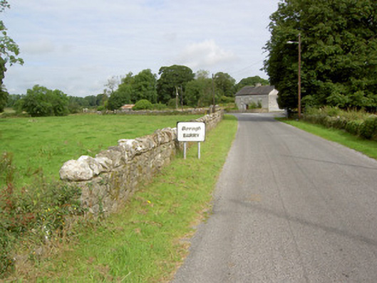 gates/railings/wallsgates/railings/walls · 1201 yd
 Enclosure in Barry (shrule By., Ballymahon Ed)Enclosure · 1468 yd
 DoonphilipCastle, motte · 1.4 mi
 Newcastle WoodsForest · 2.1 mi
 Target WoodWood · 2.4 mi
 Goldsmith Birthplace, PallasVisitor information · 2.5 mi
 European BeechEuropean Beech · 3.8 mi
 Corlea Bog Walk Canal BranchWalking route · 3.9 mi
 Corlea Trackway Interpretative CentreHeritage attraction · 4.2 mi