What is recorded here
Fairy fort in Listinny, County Monaghan: a grass-covered ringfort, 33m across at the base, set at the north end of a drumlin ridge. Its scarp rises about 1.9m, with a berm and field bank beside it, shaping a small raised place where people may have lived, kept stock or marked the land long before the fairy name reached it.
Located at the summit of and at the N end of a NNE-SSW drumlin ridge. This is a subcircular grass-covered and raised area (dim. of base c. 33m N-S; dims of top c. 28m N-S; c. 27m E-W) defined by a grass-covered scarp (at W: Wth c. 5m; H 1.9m) SE-W-NE that melds into the slope elsewhere. A berm (Wth c. 2-3m) separates the base of the scarp from a field bank SSW-W-NE, and aerial images (OSAP 1995, 2000) show a bank or hedge at the top of the scarp S-W.
The above description is derived from the published 'Archaeological Inventory of County Monaghan' (Dublin: Stationery Office, 1986). In certain instances the entries have been revised and updated in the light of recent research.
Compiled by: Michael Moore
Date of revision: 26 February 2018
The monument record does not grant public access. Check the route and ask the landowner before entering private land.
- What survives
- Recorded monument
Places near here
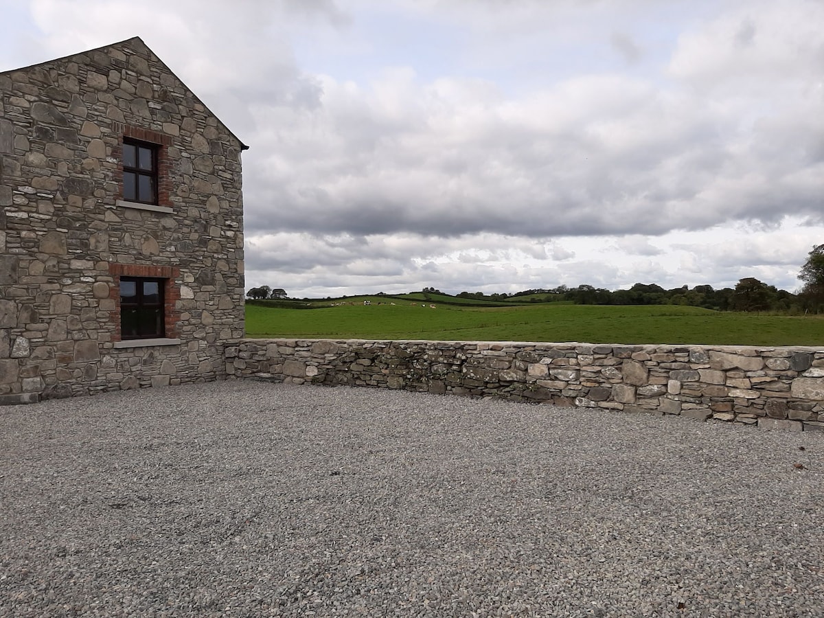 Enclosure in Doosky (cremorne By)Enclosure · 954 yd
 Enclosure in DrumbeoEnclosure · 1127 yd
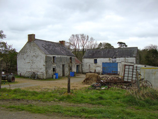 Ballygreany Millmill (water) · 1329 yd
 Battle of ClontibretBattlefield · 1.2 mi
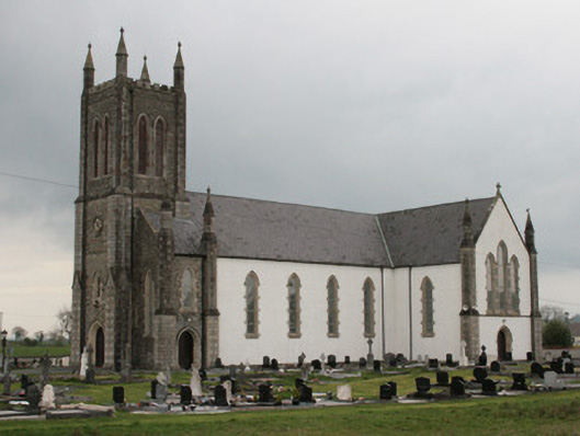 Saint Mary's Catholic Churchchurch/chapel · 1.6 mi
 Castleshane WaterfallWaterfall · 2.6 mi
 Monaghan WayWalking route · 4.3 mi
 Keady MonumentMemorial · 4.8 mi
 Keady GlenForest · 4.9 mi
 Caldwells' WoodWood · 4.9 mi
 CarrigatukeMountain / peak · 8.2 mi
 Tullyvallen Orange Hall massacremassacre · 9.0 mi