What is recorded here
Marianne and the children skipped the fort because rocks bit their ankles and shadows lengthened without warning. They returned home breathless, certain the ground itself had pulled them backward. Years later Marianne admitted the children had led her to the edge before forcing her retreat. The fort kept its distance, waiting for someone young enough to forget fear and old enough to remember the way back.
In pasture, on level ground. Shown on 1842 OS 6-inch map as roughly oval enclosure. Levelled; low undulations in field define site (diam. c. 35m N-S). Thatched cottage (CO044-040---) nearby to NW.
The above description is derived from the published 'Archaeological Inventory of County Cork. Volume 2: East and South Cork' (Dublin: Stationery Office, 1994). In certain instances the entries have been revised and updated in the light of recent research.
Date of upload/revision: 14 January 2009
The monument record does not grant public access. Check the route and ask the landowner before entering private land.
- What survives
- Recorded monument
Places near here
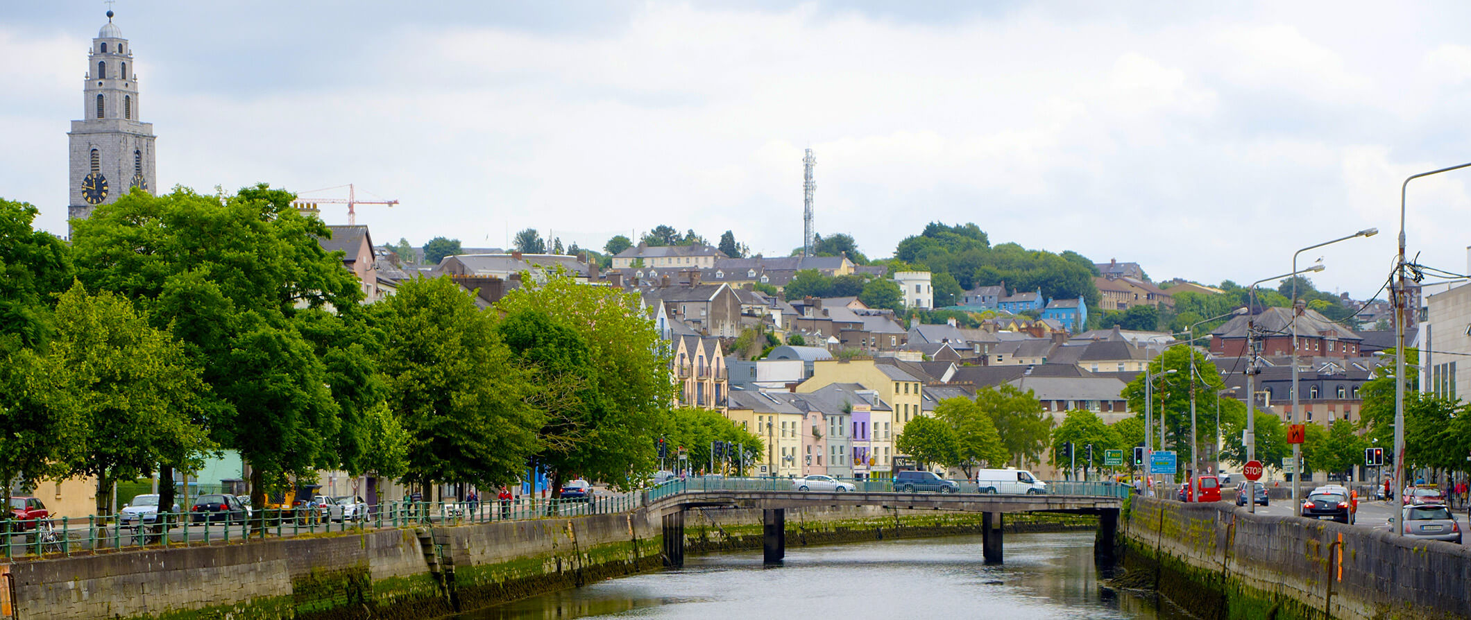 IndicatedFairy fort / earthen ringfort · 755 yd
 LisbrienFairy fort / earthen ringfort · 864 yd
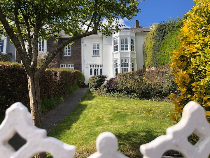 Mellefontstown HouseCountry house · 1550 yd
 MillMill, fulling · 1631 yd
 Tower (in Ruins)Bawn · 1.1 mi
 Rathcormac massacremassacre · 1.2 mi
 Barrymore Castle or Castle LyonsHouse, fortified house · 1.8 mi
 Devonshire's HillMountain / peak · 3.1 mi
 Pope's WellSpring · 3.2 mi
 Monananig WoodsWood · 3.4 mi
 Coole WellVisitor information · 3.7 mi
 Aghern CemeteryWood · 4.3 mi