What is recorded here
Fairy fort / earthen ringfort in Lissian is a fairy fort or earthen ringfort in Lissian, County Roscommon, Ireland. The circular grass-covered site sits on the crest at the west end of an east-west spur and contains slight earthen banks, a shallow fosse, and an outer bank that survives only on the southwest and northeast. Two other raths stand along the same spur, one roughly 350 metres to the west-northwest and the other roughly 250 metres to the east-southeast.
On the crest at the W end of an E-W spur. Circular grass-covered area (diam. 33.4m NW-SE; 33.4m NE-SW) defined by the slight remains of an earthen bank (Wth 2.3-3m; int. H 0.1-0.5m; ext. H 0.5-0.7m) separated by a fosse (Wth of base 2.8-3.7m; D 0.2-0.3m) SSW-NW and at NE from an outer bank (Wth 3.5-3.9m; ext. H 0.4-0.6m) which only survives SSW-NW and at NE (max. ext. diam. 52m NE-SW). There is no visible entrance, and the interior at W and the inner bank NW-NE have been quarried (D c. 0.3m). Rath (RO013-010----) is c. 350m to the WNW and rath (RO013-015----) is c. 250m to the ESE along the same spur.
Compiled by: Michael Moore
Date of upload: 24 August 2010
The monument record does not grant public access. Check the route and ask the landowner before entering private land.
- What survives
- Recorded monument
Places near here
 Embanked enclosureFairy fort / earthen ringfort · 308 yd
 IndicatedFairy fort / earthen ringfort · 385 yd
 CastleCastle, unclassified · 624 yd
 Church (in Ruins)Church · 1.4 mi
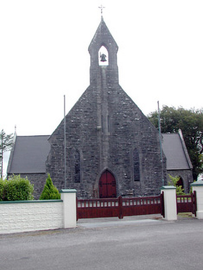 Saint Baoithín's Catholic Churchchurch/chapel · 1.4 mi
 Fairymount HillMountain / peak · 3.1 mi
 Casatle (ruins)Castle, unclassified · 3.1 mi
 Druminagh WoodForest · 3.2 mi
 Bawn IslandIslet · 4.5 mi
 Bockagh HillMountain / peak · 5.0 mi
 Rose PointHeadland · 5.6 mi
 Castle PointHeadland · 6.1 mi