What is recorded here
Fairy fort in Lissavoura, County Cork: a 37-metre earthen ring on a west-facing slope, its bank still standing two and a half metres high beside a concentric drain. Cattle have worn gaps in the east and north-west, but the shape holds like a remembered breath. People may have lived there before records, or never at all; the land keeps either possibility without complaining.
In pasture, on W-facing slope. Circular area (37.3m E-W; 36m N-S) enclosed by earthen bank (max. int. H 2.6m). Drain runs immediately outside and concentric to bank to N and E; laneway skirts site to S. Break in bank to W; smaller gaps worn by cattle to E and NNW.
The above description is derived from the published 'Archaeological Inventory of County Cork. Volume 3: Mid Cork' (Dublin: Stationery Office, 1997). In certain instances the entries have been revised and updated in the light of recent research.
Date of upload/revision: 14 January 2009
The monument record does not grant public access. Check the route and ask the landowner before entering private land.
- What survives
- Recorded monument
Places near here
 Castle (Site of)Castle, Anglo-Norman masonry castle · 792 yd
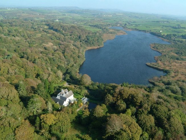 LissardFairy fort / earthen ringfort · 1377 yd
 Rock HillMountain / peak · 1.0 mi
 EnclosureEnclosure, large enclosure · 1.1 mi
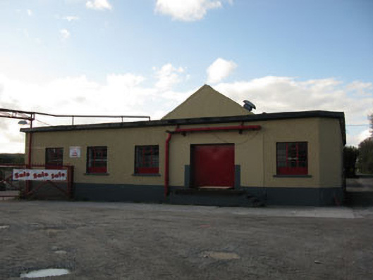 Rathduff Creamerycreamery · 1.1 mi
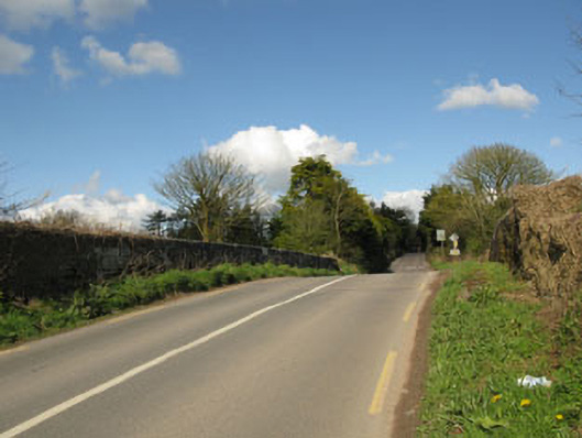 bridgebridge · 1.2 mi
 Lyradane MountainMountain / peak · 1.7 mi
 St John's WellSpring · 2.6 mi
 Graveyard in KilmonaGraveyard · 3.0 mi
 Pairc Ath Na hEornaMemorial · 3.0 mi
 Castle BarrettCastle · 4.0 mi
 Cork WalksVisitor information · 11 mi