What is recorded here
Lissavarra, County Limerick: a 35-metre embanked ringfort stood on a southwest-facing pasture slope in 1841, then vanished. Levelled and erased alongside its field boundaries, it left no trace for later inspectors. Whatever life moved inside that circle, herds, children, arguments, firelight, the land absorbed it. Even the fences that marked its edges are gone, as if the area refused to remember the shape of what once stood there.
In pasture, on SW-facing slope. Monument, depicted on 1841 OS 6-inch map as embanked circular enclosure (diam. c. 35m), has been levelled. No trace of monument evident when inspected. Surrounding field boundaries have been removed.
Compiled by: Denis Power
Date of upload: 26 August 2011
The monument record does not grant public access. Check the route and ask the landowner before entering private land.
- What survives
- Recorded monument
Places near here
 Burial Gd. for ChildrenChildren's burial ground · 381 yd
 Lissamota CastleCastle · 1280 yd
 Ballynahaha Housegates/railings/walls · 1436 yd
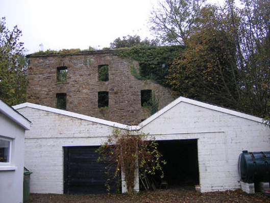 mill (water)mill (water) · 1656 yd
 Castle (in ruins)Castle, tower house · 1.1 mi
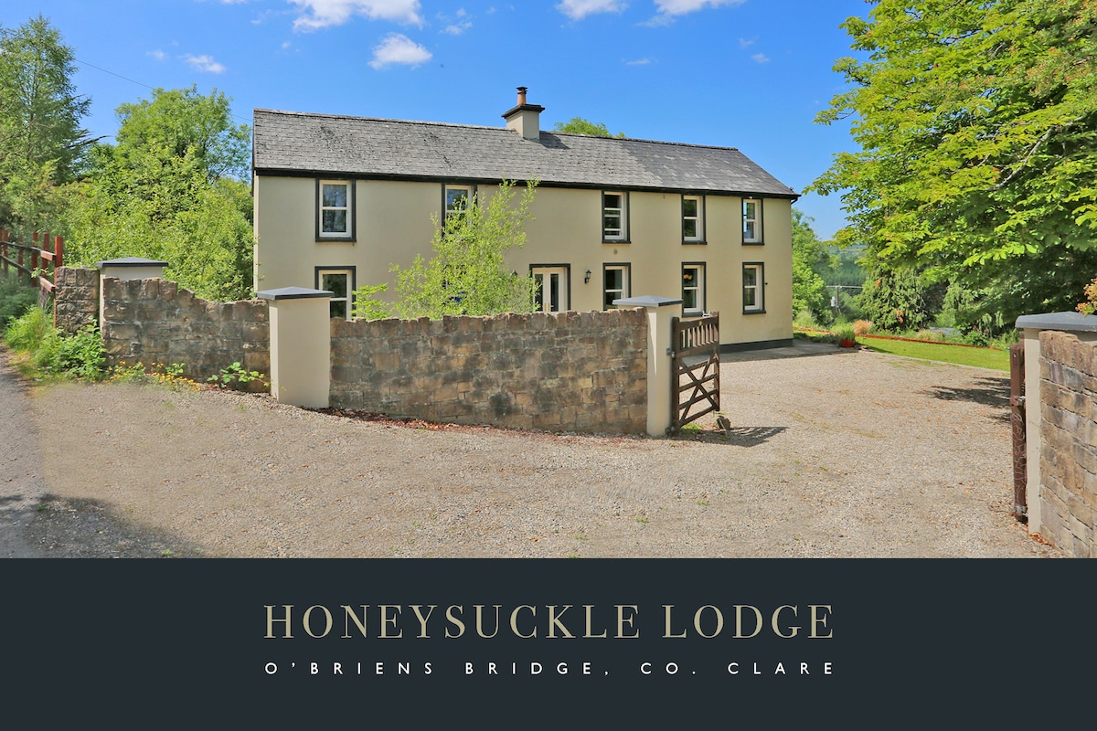 Lismoylan - HachuredFairy fort / earthen ringfort · 1.2 mi
 Famine stoneMemorial · 1.7 mi
 Flat cemetery in Kiltenan SouthFlat cemetery · 1.9 mi
 KnockfeerinaMountain / peak · 2.0 mi
 Kinnoor WellSpring · 2.6 mi
 Dysert AenghusaHeritage attraction · 4.3 mi
 LaghtpatrickSpring · 4.4 mi