What is recorded here
Fairy forts are not for us. They belong to the hidden people who still own the old land. We may look at them from a distance. We must not touch them, break them or take anything from them.
In the paddock of an old farmyard, immediately to the N of a farm road. This possible rath is not visible at ground level. An earthen mound (diam. c. 18m; H 1.2m), with an uneven upper surface, occupies its approximate location. The mound is covered with nettles, manure and high grass. A curving wall at the E skirts the mound. It is indicated on the 1846 OS 6-inch map as a circular enclosure (diam. c. 25m) which is crossed by a NW-SE field boundary. According to the landowner, this was a small circular fort with an earthen bank.
Compiled by: Elizabeth Byrne, Ursula Egan and Sheila Ronan, Archaeological Survey Unit, University College, Cork.
Date of upload: 31 January 2011
The monument record does not grant public access. Check the route and ask the landowner before entering private land.
- What survives
- Recorded monument
Places near here
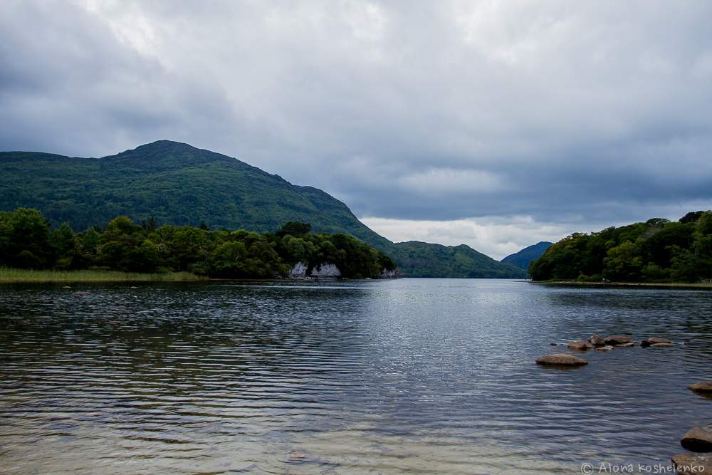 Man-made underground passage in Coolroe NorthMan-made underground passage · 800 yd
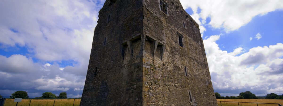 LissareeFairy fort / earthen ringfort · 1.0 mi
 The Kerry Creamery ExperienceHeritage attraction · 1.1 mi
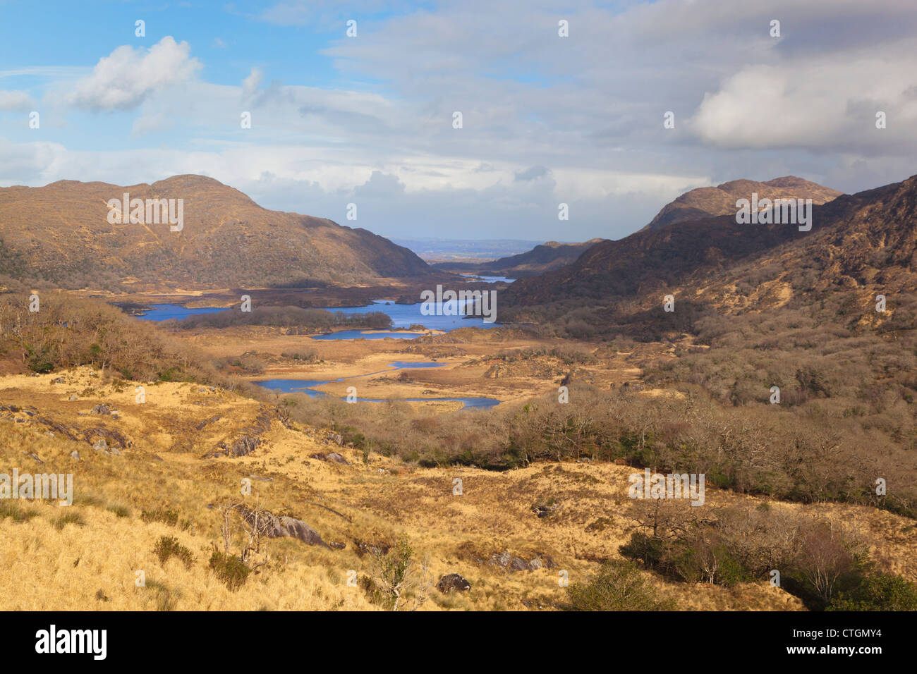 IndicatedKiln, lime · 1.1 mi
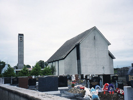 Catholic Church of the Immaculate Conceptionchurch/chapel · 1.2 mi
 CastleCastle, tower house · 2.3 mi
 Ballymalis CastleCastle · 2.3 mi
 Clash IslandIslet · 3.1 mi
 Cloon IslandIsland · 3.4 mi
 King Puck statueMemorial · 3.9 mi
 Dunloe Ogham StonesHeritage attraction · 4.7 mi
 Japanese pagoda treeJapanese pagoda tree · 4.8 mi