What is recorded here
Fairy fort in Lissanurlan, County Longford: a 36.4m earthen ring on a pasture slope, its low bank broken at the entrance by a causeway and faint drystone walls. Cows may have grazed inside it for centuries while people called it a fairy place, neither trusting nor dismissing the name. What is certain is shape: a made circle, partly buried, still pointing back to the hands that turned its earth.
On a SSW-facing slope in pasture. A raised circular area (diam. 36.4m) enclosed by a partially denuded, low bank of earth and stone (Wth 4.4m; H 0.8m max.) with a partially infilled, wide, shallow external fosse (Wth 2.9m; D 0.3m). A break (Wth 3.3m) in the bank at ENE with an accompanying causeway marks the original entrance. There are fragmentary remains of drystone-walling on either side of the entranceway.
Compiled by: Patrick F. O'Donovan
Date of upload: 26 August 2011
The monument record does not grant public access. Check the route and ask the landowner before entering private land.
- What survives
- Recorded monument
Places near here
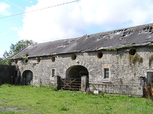 Aghareagh Housefarmyard complex · 867 yd
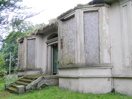 Mullagh Househouse · 1342 yd
 Fulacht fia in Aghareagh (longford By.)Fulacht fia · 1439 yd
 Field system in MullaghField system · 1442 yd
 Bawn in AbbeycartronBawn · 1.8 mi
 First World War MemorialMemorial · 1.9 mi
 Saint Mel's CathedralCathedral · 2.0 mi
 Graveyard in Curry (ardagh By., Coolamber Ed)Graveyard · 2.8 mi
 CastleCastle, Anglo-Norman masonry castle · 5.3 mi
 Commons North WalkVisitor information · 7.2 mi
 Wild birdsVisitor information · 7.4 mi
 White Sand WoodWood · 7.7 mi