What is recorded here
Fairy forts are often little more than a bank of earth and a gap in it, but Lissanisky keeps that shape on a south-facing slope where cattle still graze. The circle measures thirty-seven metres across, with a half-metre-high ridge running from east to north-west and a broken place toward the south-west. Men and women may have lived there before ploughs and ambition arrived, or the land may have made a room for itself and waited to be noticed. Either way, the earth remembers the shape of hands that touched it, even when those hands have forgotten the name of the place.
In pasture, on S-facing slope. Circular area (37m E-W) defined by earthen bank (H 0.9m) ENE->NNW. Break in bank to SSW. Partially destroyed between 1904 and 1918 (Healy 1904, 113; Power 1918, 224). Upslope behind site levelled for silage slab by dumping material down slope, obliterating bank NNW->ENE.
The above description is derived from the published 'Archaeological Inventory of County Cork. Volume 2: East and South Cork' (Dublin: Stationery Office, 1994). In certain instances the entries have been revised and updated in the light of recent research.
Date of upload/revision: 14 January 2009
The monument record does not grant public access. Check the route and ask the landowner before entering private land.
- What survives
- Recorded monument
Places near here
 Berry Hillcountry house · 914 yd
 Annebrook HouseCountry house · 1178 yd
 Bee-boles in BallynacrushaBee-boles · 1186 yd
 Sunday WellHoly well · 1228 yd
 Cobh CemeteryGraveyard · 1337 yd
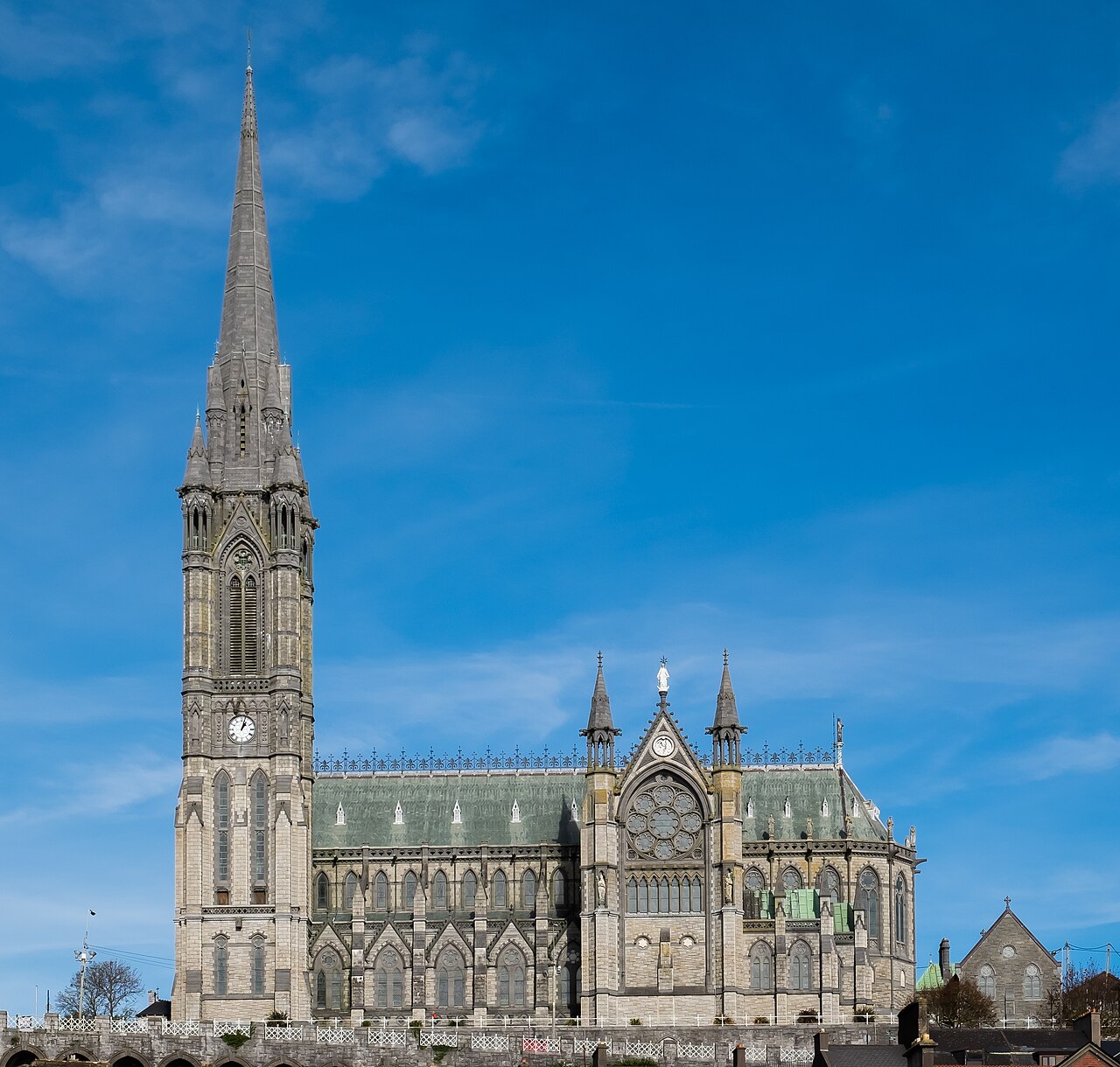 Saint Colman's Cathedral, CobhCathedral · 1.5 mi
 Cobh Tourist OfficeVisitor information · 1.6 mi
 Lusitania Peace MemorialMemorial · 1.6 mi
 Cobh MuseumMuseum · 1.6 mi
 Lough MahonBay · 2.6 mi
 Rochestown WoodWood · 3.2 mi
 Ronayns CourtHouse, fortified house · 3.9 mi