What is recorded here
Fairy fort in Lissaniska West: a 50-metre earthen ring on a slight south-facing slope, its scarped edge still standing nearly two metres high above a waterlogged fosse. At the southwest the boundary levels out for fifteen metres, and two low parallel banks run outward like a forgotten entrance or a road never finished. Cattle graze the flat interior now, but the shape remains exact enough to suggest people once drew a line around their lives and asked the land to remember it.
In pasture, on slight S-facing slope. Circular area (50m N-S; 48.2m E-W) defined by scarped edge (H 1.9m; Wth 3.4m) with external waterlogged fosse (D 0.95m; Wth 1.9m). At SW scarp levelled out over arc of c. 15m; running out from this are two low parallel earthen banks, 14.7m apart. Recently constructed pathway crosses fosse and scarp at N. Interior is level and under rough pasture.
Compiled by: Denis Power
Date of upload: 26 August 2011
The monument record does not grant public access. Check the route and ask the landowner before entering private land.
- What survives
- Recorded monument
Places near here
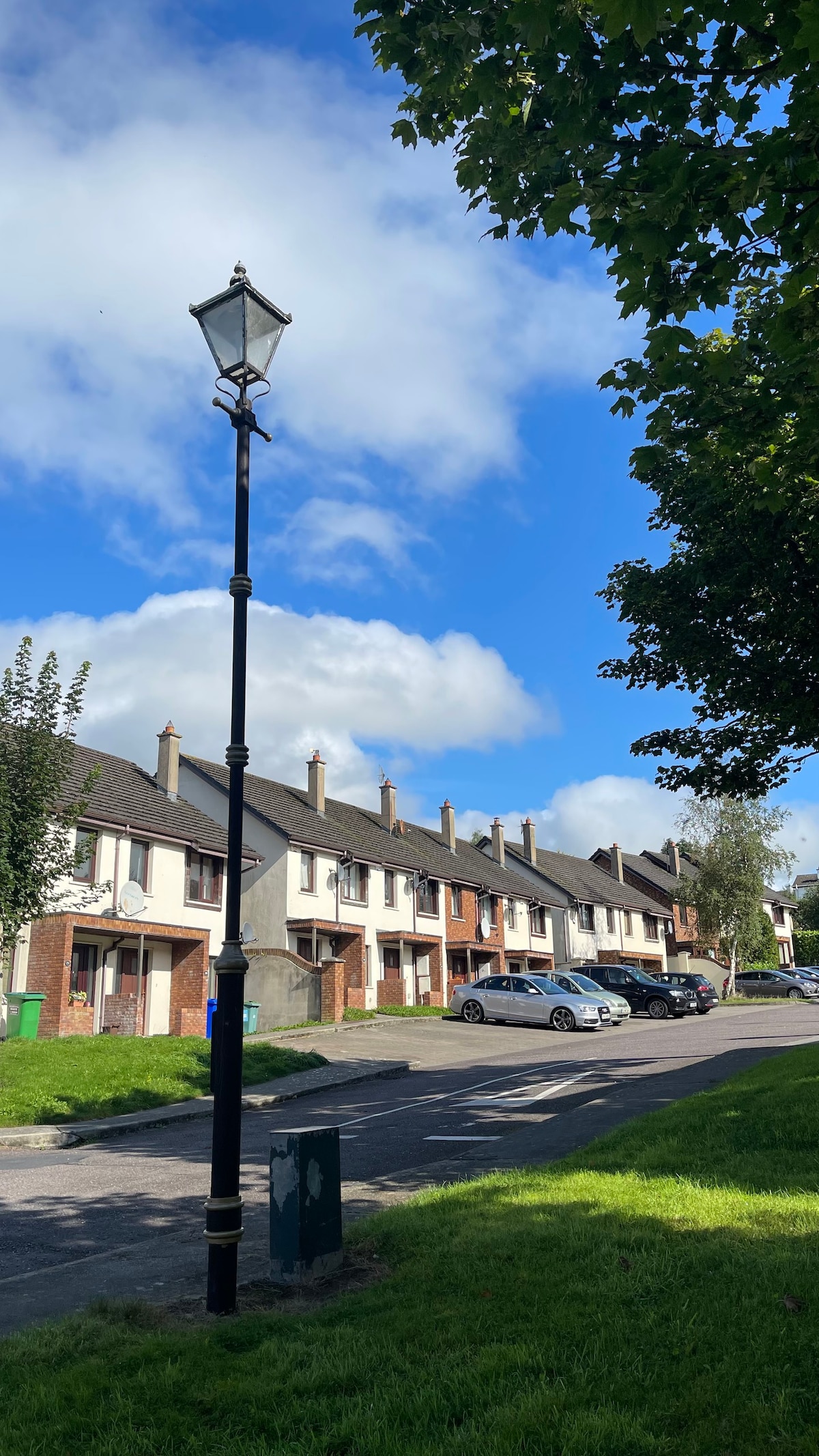 Lissanaska HachuredFairy fort / earthen ringfort · 388 yd
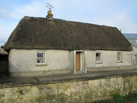 farm housefarm house · 1124 yd
 Knockaderry Housecountry house · 1407 yd
 Enclosure in Grange LowerEnclosure · 1548 yd
 Castle MahonCastle · 2.1 mi
 Ballynoe Castle (in ruins)Castle, tower house · 2.2 mi
 European ashEuropean ash · 2.6 mi
 LaghtpatrickSpring · 2.9 mi
 Sunday WellSpring · 3.2 mi
 Limerick GreenwayWalking route · 6.1 mi
 Ballagh MountainMountain / peak · 7.2 mi
 Sugar HillMountain / peak · 7.3 mi