What is recorded here
Thirty-five paces of packed earth and shadow. Two banks rise around a central ditch, and a narrow causeway cuts the southern edge like a tongue touching the world. Inside, bramble and grass have swallowed every chamber, every hearth, every footpath. The fort does not resist forgetting; it feeds on it.
In undulating grassland. Circular rath (ext. D c. 70m), in fair condition, defined by two banks and an intervening fosse. There is an entrance causeway at S. The interior is densely overgrown. Two spring wells are present in the fosse at N.
The above description is derived from the published 'Archaeological Inventory of County Galway Vol. II - North Galway'. Compiled by Olive Alcock, Kathy de hÓra and Paul Gosling (Dublin: Stationery Office, 1999). Hachured
Revised by: Olive Alcock
Date of revised upload: 28 September 2017
The monument record does not grant public access. Check the route and ask the landowner before entering private land.
- What survives
- Recorded monument
Places near here
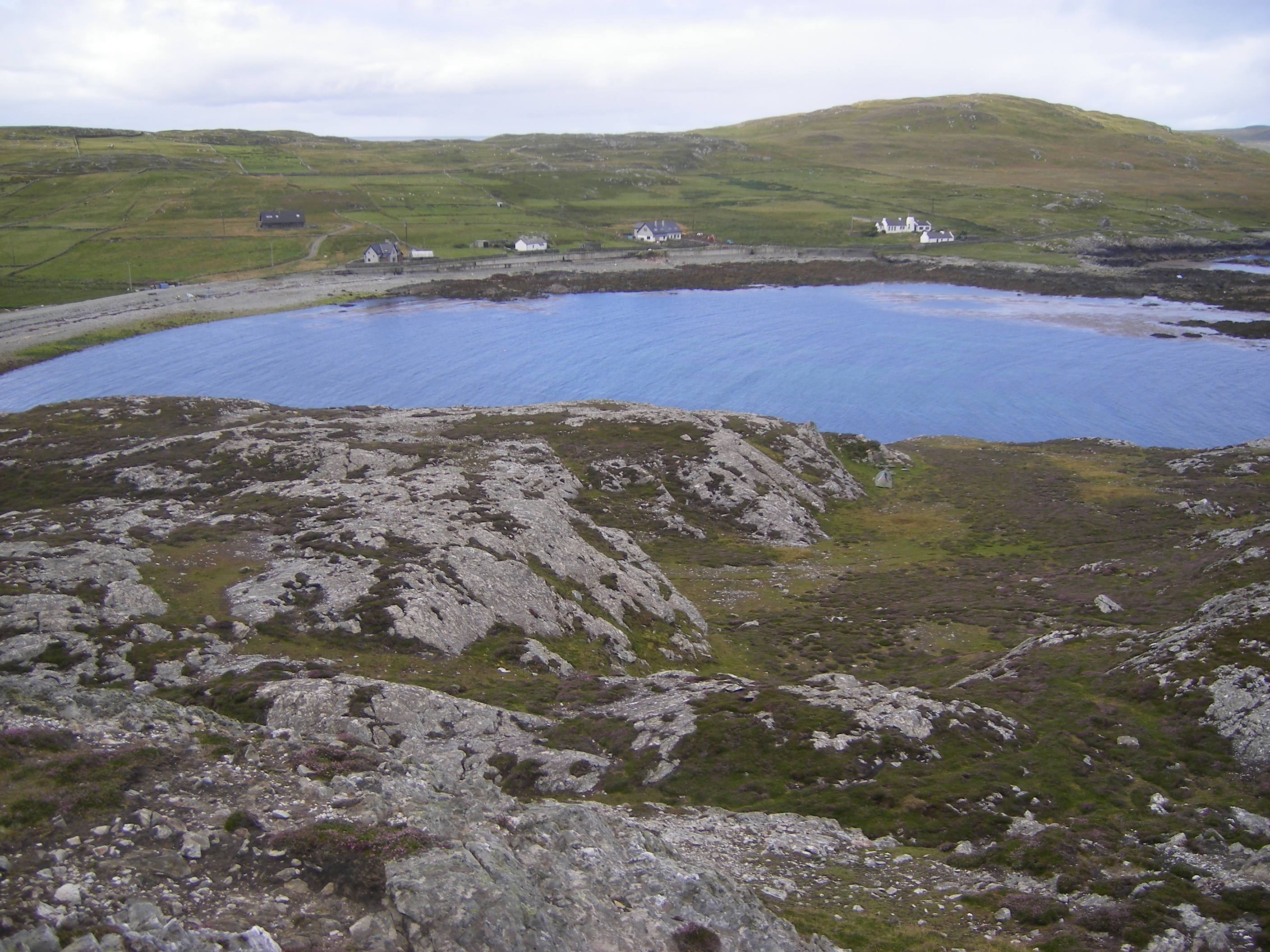 IndicatedFairy fort / ringfort · 615 yd
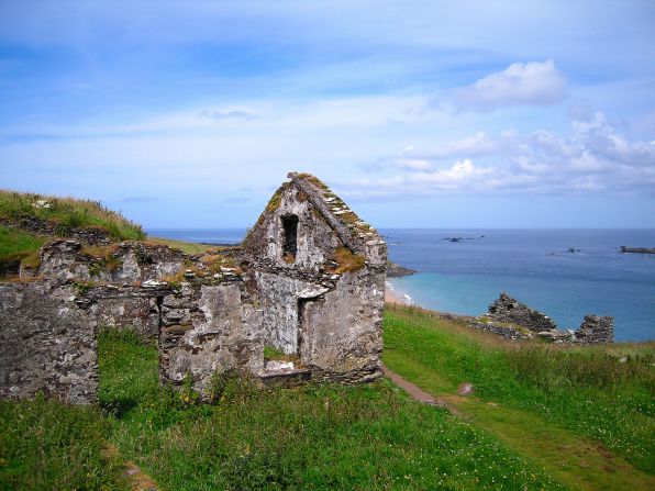 Settlement desertedSettlement deserted, medieval · 911 yd
 CashlaundarraghCastle · 1.1 mi
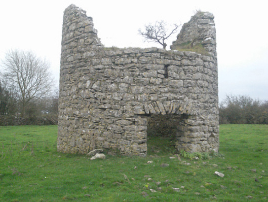 mill (wind)mill (wind) · 1.4 mi
 Castle FrenchCastle, unclassified · 1.6 mi
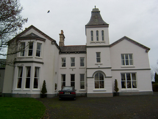 Crumlin Parkcountry house · 1.6 mi
 SycamoreSycamore · 1.7 mi
 Common WhitebeamCommon Whitebeam · 1.7 mi
 Knockmoy AbbeyHeritage attraction · 2.3 mi
 Menlough IRAMemorial · 7.0 mi
 Mass RockNamed rock · 11 mi
 CahershanemaguireFairy fort / stone ringfort · 1301 yd