What is recorded here
On a very gentle NE-facing slope in gently undulating terrain, under pasture. Circular area (diam. 31.5m N-S; 32.9m E-W) enclosed by a very low bank (Wth 1.7-2.3m crest, 5.8m base; int. H 0.4m; ext. H 1.1-2.05m), largely reduced to scarp, and fosse (Wth 3.4m), except in the NE and E quadrants. A field boundary runs concentrically with the bank in the W quadrant. The interior, which is covered with lush grass and some nettles, slopes to the NE. Scrub and brambles are growing around the edge of the scarp in N, W and S quadrants. The fosse is quite heavily overgrown.
Compiled by: Jean Farrelly
Date of upload: 26 August 2011
The monument record does not grant public access. Check the route and ask the landowner before entering private land.
- What survives
- Recorded monument
Places near here
 LisronaghFairy fort / earthen ringfort · 485 yd
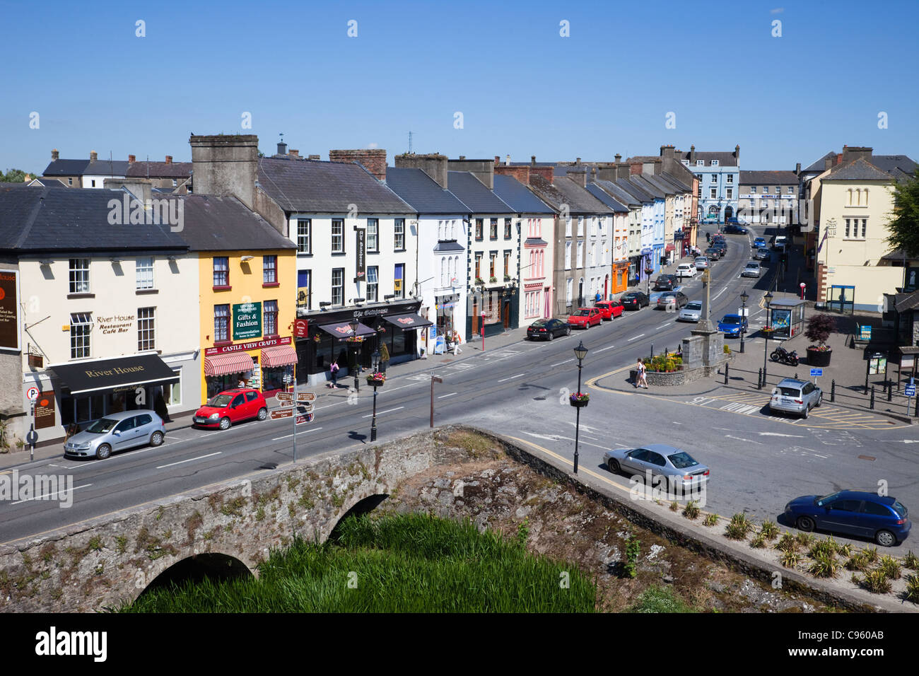 No indicatedEnclosure · 954 yd
 Castle (in ruins)Castle, tower house · 1030 yd
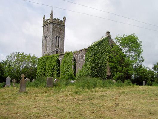 Lisronagh Churchchurch/chapel · 1057 yd
 Church (in Ruins)Church · 1159 yd
 CastleCastle, motte · 1704 yd
 Persian WalnutPersian Walnut · 1.4 mi
 Pedunculate OakPedunculate Oak · 1.6 mi
 Charles BianconiMemorial · 3.9 mi
 Main GuardHeritage attraction · 3.9 mi
 John HackettMemorial · 3.9 mi
 Merchant's HouseVisitor information · 3.9 mi