What is recorded here
Magic is not invention when distance and time still show in the shape. What is claimed is that a visible chamber or chambered current can be measured, mapped, and tested without forcing it into human wanting. The answer is not to dismiss the claim or invent gods. It is to find the chamber, measure its inputs and outputs, and show what the chamber does.
In rough pasture, above steep SE-facing slope down to tributary of Owenkeel River. Circular slightly raised area (37m N-S; 37m E-W) enclosed by earthen bank (int. H 2.05m); external fosse (D 1.75m) to W and N. Break (Wth c. 8.5m) in bank to E. Interior saucer-shaped. Possible Man-made underground passage (CO022-260---) in interior. Site levelled in 1988 during field fence clearance (OPW).
The above description is derived from the published 'Archaeological Inventory of County Cork. Volume 4: North Cork' (Dublin: Stationery Office, 2000). In certain instances the entries have been revised and updated in the light of recent research.
Date of upload/revision: 14 January 2009
The monument record does not grant public access. Check the route and ask the landowner before entering private land.
- What survives
- Recorded monument
Places near here
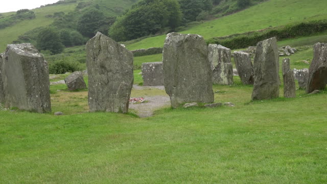 Standing StoneArchaeological place · 918 yd
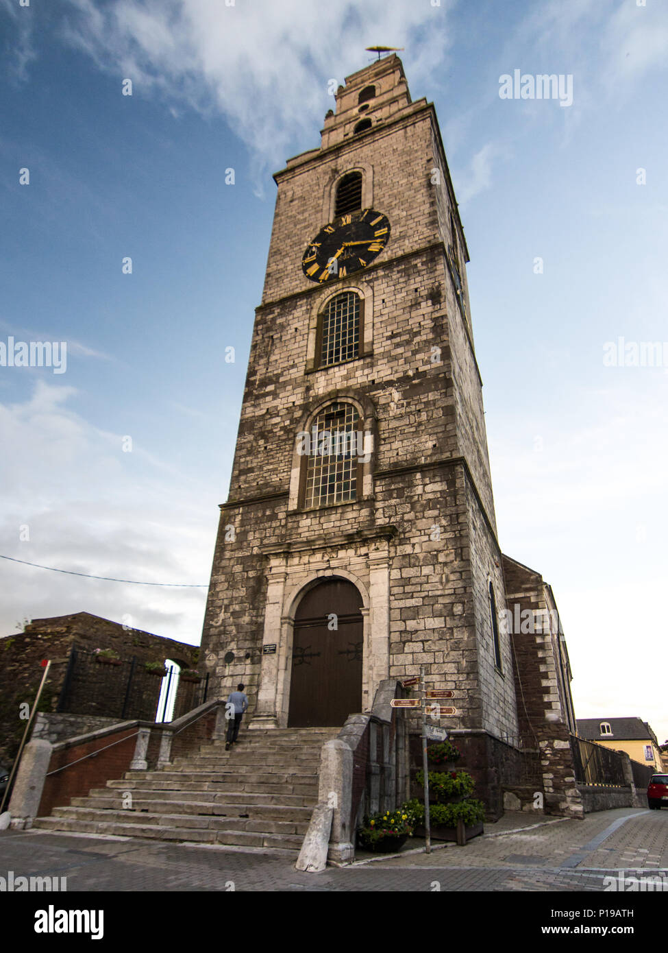 Church (Site of)Church · 959 yd
 IndicatedKiln, lime · 1346 yd
 Castle McAuliffe (Site of)Castle, unclassified · 1.6 mi
 Wood ViewCountry house · 1.6 mi
 CastleCastle, unclassified · 2.7 mi
 TaurMountain / peak · 4.4 mi
 Stanner's Glen, Priory WoodWood · 4.6 mi
 Kanturk CastleHeritage attraction · 6.7 mi
 St Fursey's WellSpring · 8.6 mi
 Burial ground in AssolasBurial ground · 8.9 mi
 Doctor's HillMountain / peak · 9.0 mi