What is recorded here
Fairy fort in Lisrivis, County Galway: a 38 m circular rath on a grass ridge above bogland, its inner scarp, fosse and outer bank still marking part of the circle. A field wall cuts through at NE and S, and the east has vanished beneath later use. Whatever life moved inside may have watched water gather in the bog below, while the fort itself faded until only a ridge of memory remains.
On a ridge in undulating grassland overlooking bogland to SE. Poorly preserved circular rath (D 38m) defined by an inner scarp, intervening fosse and outer bank. The scarp is extant from W through N to NE, and the fosse and outer bank survive from S to SW. A field wall cuts the monument at NE and S and no visible surface trace survives to E of it.
The above description is derived from the published 'Archaeological Inventory of County Galway Vol. II - North Galway'. Compiled by Olive Alcock, Kathy de hÓra and Paul Gosling (Dublin: Stationery Office, 1999).
Date of upload: 05 August 2010
The monument record does not grant public access. Check the route and ask the landowner before entering private land.
- What survives
- Recorded monument
Places near here
 Enclosure in Kilmore (ballymoe By.)Enclosure · 1620 yd
 R.C. ChapelChapel · 1.2 mi
 Enclosure in CorraloughEnclosure · 1.4 mi
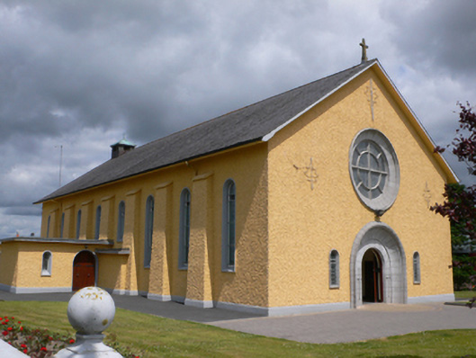 Saint Therese's Catholic Churchchurch/chapel · 1.4 mi
 CastleCastle, unclassified · 1.7 mi
 Rook HillMountain / peak · 2.4 mi
 Castle (in ruins)Castle, unclassified · 2.5 mi
 Slieve DartMountain / peak · 4.6 mi
 Site of Killomaine Grave YardArchaeological place · 6.1 mi
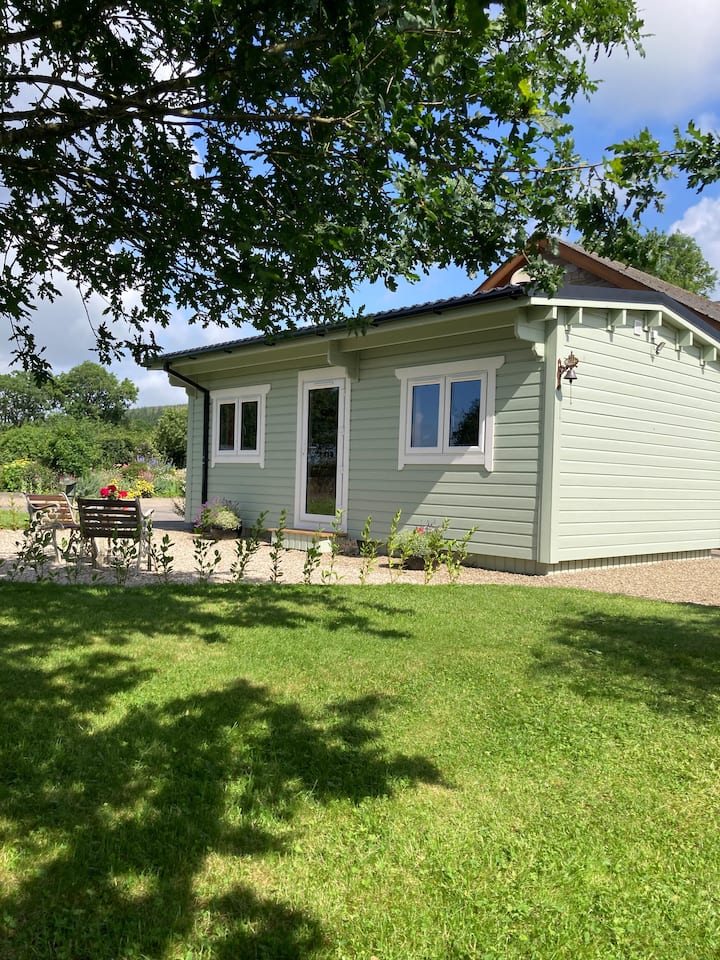 Enclosure in BallyroeEnclosure · 1.6 mi
 IndicatedFairy fort / earthen ringfort · 1.9 mi
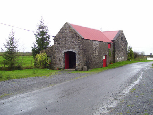 forge/smithyforge/smithy · 1.9 mi