
What is recorded here
In grassland. Marked on 3rd ed. of OS 6-inch map (1930) as a large circular platform (D c. 90m) delimited from S through W to NNE by a single line of hachures, with traces of a possible external fosse shown at NW. What is visible is a poorly preserved circular enclosure (D 40m) defined from ENE through S to NW by a low scarp (H 1.1m). From NW through N to NE, a low earthen bank appears to overlie its line before veering off to E. Slight traces of a fosse are discernible from S to NW, and the shadow of a possible outer bank is visible outside it. An enclosure (GA006-005001-) is associated.
The above description is derived from the published 'Archaeological Inventory of County Galway Vol. II - North Galway'. Compiled by Olive Alcock, Kathy de hÓra and Paul Gosling (Dublin: Stationery Office, 1999).
The monument record does not grant public access. Check the route and ask the landowner before entering private land.
- What survives
- Recorded monument
Places near here
 R.C. ChapelChapel · 435 yd
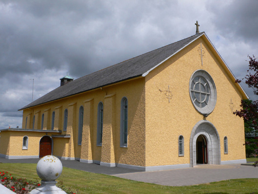 Saint Therese's Catholic Churchchurch/chapel · 488 yd
 IndicatedCrannog · 561 yd
 Enclosure in BallyroeEnclosure · 996 yd
 Castle (in ruins)Castle, unclassified · 2.2 mi
 Rook HillMountain / peak · 2.4 mi
 CastleCastle, unclassified · 2.6 mi
 Slieve DartMountain / peak · 4.9 mi
 Site of Killomaine Grave YardArchaeological place · 6.0 mi
 KilnKiln · 1357 yd
 Enclosure in Moneen (island Ed)Enclosure · 1.0 mi
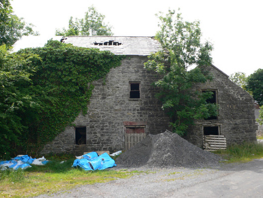 Clough Millmill (water) · 1.3 mi
Other information
Photo: Credit not shown in the picture search · Rights wording not checked; contact us if this picture should be removed