What is recorded here
On S-facing slope in grassland overlooking bog and marsh to S. Marked on 1st ed. of OS 6-inch map as a circular enclosure (D c. 30m) cut by a road at NE and SE. Only SW section, defined by a degraded overgrown scarp (H 1.5m), survives. II - North Galway'.
From the National Monuments Service (Archaeological Survey of Ireland) record GA001-036
The monument record does not grant public access. Check the route and ask the landowner before entering private land.
- What survives
- Recorded monument
Places near here
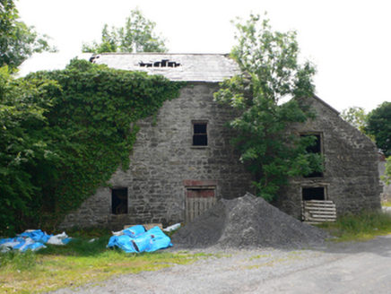 Clough MillMill (water) · 1128 yd
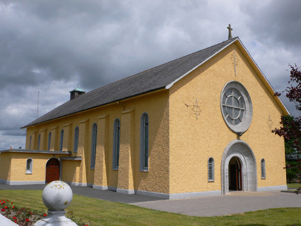 Saint Therese's Catholic ChurchChurch/chapel · 1533 yd
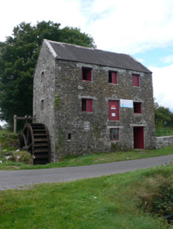 mill (water)1.5 mi
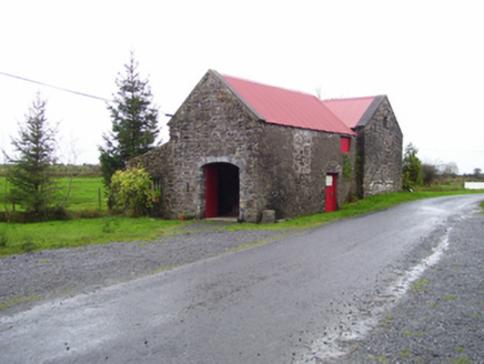 forge/smithy1.6 miRook HillMountain / peak · 2.2 mi
_-_geograph.org.uk_-_1952978.jpg/250px-Castles_of_Connacht,_Glinsk,_Galway_(2)_-_geograph.org.uk_-_1952978.jpg "Photo: Mike Searle, Wikimedia Commons · CC BY-SA 2.0") Bawn in Glinsk (ballymoe By.)Bawn · 6.0 mi
Bawn in Glinsk (ballymoe By.)Bawn · 6.0 mi.jpg/250px-Castles_of_Connacht-_Ballintober,_Roscommon_(geograph_1954203).jpg "Photo: Mike Searle, Wikimedia Commons · CC BY-SA 2.0") CastleCastle, Anglo-Norman masonry castle · 6.6 mi
CastleCastle, Anglo-Norman masonry castle · 6.6 mi Hawthorn9.2 mi
 IndicatedRound tower · 9.3 mi
 European ash17 mi
 St. Marys CathedralCathedral · 17 mi
 Kilcoona Round TowerHeritage attraction · 25 mi
Pictures: National Inventory of Architectural Heritage; Mike Searle, Wikimedia Commons · CC BY-SA 2.0; Didier Descouens, Wikimedia Commons · CC BY-SA 4.0; AmandaMcCrann, Wikimedia Commons · CC BY-SA 4.0; Willow, Wikimedia Commons · CC BY 2.5; ClintMalpaso, Wikimedia Commons · CC BY-SA 3.0; Wanfried-Dublin, Wikimedia Commons · CC BY-SA 3.0
More archaeology and monuments in County Galway · All of County Galway
What do you know about this place?