What is recorded here
On a S-facing slope in pasture. A raised circular area (diam. c. 43m) enclosed from SE-S-N by a substantial bank of earth and stone (Wth 6-8m; H 0.4-1.5m) and elsewhere defined by a scarp (H 2-3m) with a wide, deep, intervening fosse (Wth 5m; D 1.5-2m) and an outer bank (Wth 6m; H 1-1.5m). From NNE-E-S the outer bank has been modified and incorporated into a field boundary. A report in 1990 (SMR file) suggested that a break in the inner bank at SE with an accompanying causeway marked the original entrance.
Compiled by: Patrick F. O'Donovan
Date of upload: 16 January 2012
The monument record does not grant public access. Check the route and ask the landowner before entering private land.
- What survives
- Recorded monument
Places near here
 Burnt spread in EnaghanBurnt spread · 745 yd
 Lisraherty Bog WoodlandWood · 1539 yd
 White IslandIslet · 1566 yd
 Scrabby Hill FortArchaeological place · 1.2 mi
 Arnaghan NorthMountain / peak · 1.3 mi
 CastleBawn · 1.3 mi
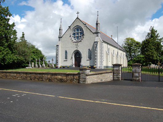 Church of the Holy Familychurch/chapel · 1.5 mi
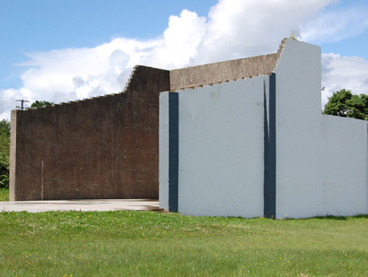 handball alleyhandball alley · 1.6 mi
 Cloone Ho.Castle, unclassified · 1.8 mi
 Scrabby IslandIslet · 1.9 mi
 Arnaghan SouthMountain / peak · 1.9 mi
 Gartylough Wet WoodlandWood · 2.4 mi