What is recorded here
Mud, memory and myth are entangled here. The fort is real, the fairy claim is a story, and both are true in their own way. That is what makes it valuable.
Raised circular area (int. diam. 30.4m) enclosed by a substantial earthen bank and a wide, deep, partly waterlogged fosse encompassed by a modern counterscarp bank. Break in bank at NE with accompanying causeway represents original entrance.
The above description is derived from the published 'Archaeological Inventory of County Cavan' (Dublin: Stationery Office, 1995). In certain instances the entries have been revised and updated in the light of recent research.
Date of upload/revision: 22 December 2008
The monument record does not grant public access. Check the route and ask the landowner before entering private land.
- What survives
- Recorded monument
Places near here
 Cootehill Railway Stationrailway station · 514 yd
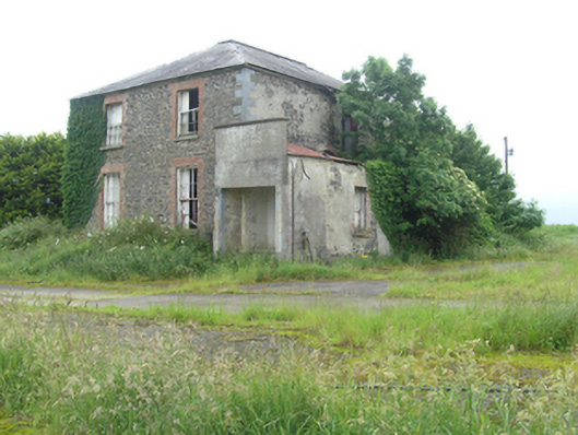 Cootehill Rectoryrectory/glebe/vicarage/curate's house · 757 yd
 Killycramph WoodForest · 1315 yd
 CastleCastle, unclassified · 1.0 mi
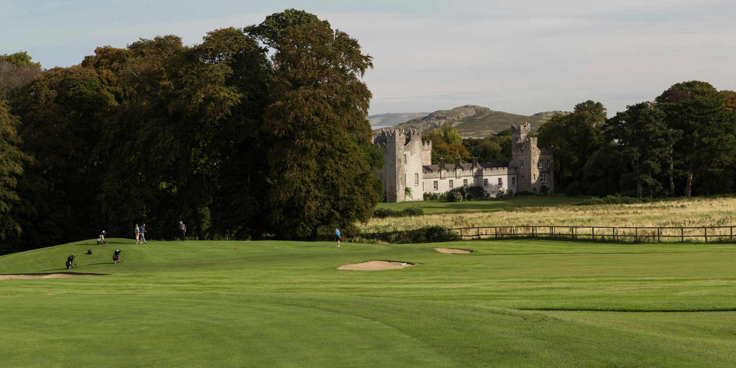 Deer ParkForest · 1.1 mi
 Fulacht fia in Dromore WestFulacht fia · 1.6 mi
 Dromore HillMountain / peak · 1.6 mi
 Man-made underground passage in MoylemuckMan-made underground passage · 1.7 mi
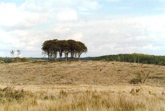 Flagpole HillMountain / peak · 1.7 mi
 Graveyard in Drumgoon (clankee By.)Graveyard · 2.2 mi
 Giant's GraveArchaeological place · 2.2 mi
 Site of Old CastleCastle, unclassified · 3.6 mi