
What is recorded here
Castle Saunders stands near the summit of a high drumlin hill in Lislea, believed to mark a lost Saunderson stronghold though no wall or chamber remains visible. The absence of the site from every formal map and survey does not diminish the claim that it existed; it suggests the landscape kept the castle private while human records looked elsewhere. A pile of stones may be all that survives, yet it still points to the height where a family once watched the valley below.
Not marked on any OS 6-inch map, and a castle at Lislea (430) is not marked on the Down Survey barony map (1656-8). See this web-page accessed on 8 April, 2016: http://downsurvey.tcd.ie/down-survey-maps.php#bm=Tulloghgarvey&c=Cavan Situated near the summit of a high drumlin hill. Known as 'Castle Saunders' and thereby believed to be the site of a Saunderson stronghold (local information). There are no visible remains at ground level apart from a pile of stones.
The above description is derived from the published 'Archaeological Inventory of County Cavan' (Dublin: Stationery Office, 1995). In certain instances the entries have been revised and updated in the light of recent research.
Date of revision: 11 April, 2016
This remains an important historical record, but the official description says the monument is no longer visible or has been destroyed. The monument record does not grant public access. Check the route and ask the landowner before entering private land.
- What survives
- No visible remains or recorded as destroyed
Places near here
 CastleCastle, unclassified · 519 yd
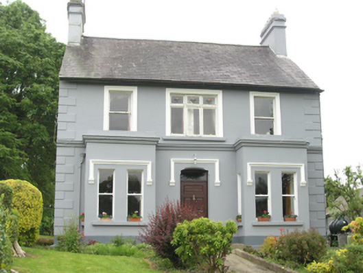 Riverside Househouse · 718 yd
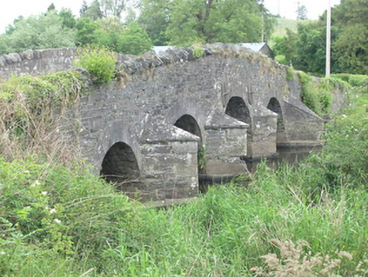 Lawson's Ford Bridgebridge · 822 yd
 Errigal RingfortArchaeological place · 1372 yd
 IndicatedEnclosure · 1536 yd
 Killycramph WoodForest · 1.3 mi
 Cordoagh Glebe Upper ForestForest · 1.4 mi
 Dromore HillMountain / peak · 1.7 mi
 Brown's HillMountain / peak · 1.9 mi
 Graveyard in Drumgoon (clankee By.)Graveyard · 2.3 mi
 Site of Old CastleCastle, unclassified · 2.6 mi
 Giant's GraveArchaeological place · 4.8 mi
Other information
Photo: Credit not shown in the picture search · Rights wording not checked; contact us if this picture should be removed