What is recorded here
Fairy fort / earthen ringfort in Lisnarawer is a fairy fort or earthen ringfort in Lisnarawer, County Sligo, Ireland. The earthen ringfort sits at the edge of a low rise in undulating pasture and appeared as a circular enclosure on the 1837 Ordnance Survey map. Its broad scarp, 3.2 metres wide and 1.5 to 2 metres high, curves from south-west to north-west and now marks the south boundary of a garden lawn.
Situated at the edge of a low rise in undulating pasture. Depicted as a circular enclosure on the 1837 edition of the OS 6-inch map. Remains comprise a broad scarp (Wth. 3.2m; H 1.5m - 2m), now incorporated into a field boundary, extending in an arc from S-W-NW. It now forms the S boundary of a garden lawn.
Compiled by: Patrick F. O'Donovan
Date of upload: 19 January 2011
The monument record does not grant public access. Check the route and ask the landowner before entering private land.
- What survives
- Recorded monument
Places near here
 Giant's GraveArchaeological place · 663 yd
 Enclosure in CloonakeemogeEnclosure · 758 yd
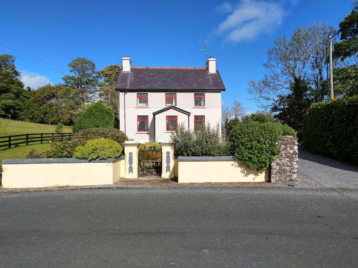 Enclosure in LisnarawerEnclosure · 824 yd
 Carrowgarry Househouse · 1580 yd
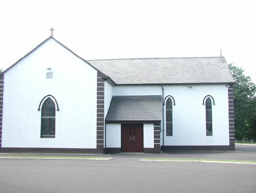 Catholic Church of Saint Peter and Saint Paulchurch/chapel · 1617 yd
 CastleCastle, ringwork · 1.1 mi
 Lahanacappul IslandIslet · 1.1 mi
 Bawn in Tanrego WestBawn · 1.3 mi
 European ashEuropean ash · 1.4 mi
 Ballinlig PointHeadland · 1.4 mi
 Pigeonpark WoodForest · 1.5 mi
 Portavaud PointHeadland · 1.5 mi