What is recorded here
No. Of two or more connected facts, at least one is wrong or invented.
On a low drumlin hill in pasture. A report in 1975 (SMR file) indicates that this raised circular area (diam. 38.2m) was enclosed by a bank of earth and stone. It is defined by a scarp (H 0.3-1.6m), which is highest at SE. There is no trace of a fosse and the original entrance is not recognisable.
Compiled by: Patrick F. O'Donovan
Date of upload: 26 August 2011
This remains an important historical record, but the official description says the monument is no longer visible or has been destroyed. The monument record does not grant public access. Check the route and ask the landowner before entering private land.
- What survives
- No visible remains or recorded as destroyed
Places near here
 IndicatedFairy fort / ringfort · 995 yd
 Enclosure in BracklonEnclosure · 1041 yd
 CastleCastle, ringwork · 1452 yd
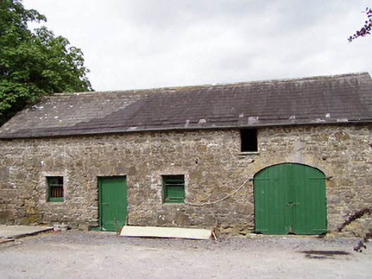 Lisnanagh Househouse · 1648 yd
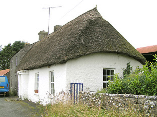 Moore's Townhouse · 1701 yd
 Moat & CastleCastle, motte and bailey · 1.4 mi
 Edgeworthstown BypassMemorial · 1.6 mi
 Oldtown DemesneForest · 2.3 mi
 Oldtown CopseWood · 2.4 mi
 Clonfin Ambush MemorialMemorial · 4.4 mi
 Bully's Acregraveyard/cemetery, unknown · 4.8 mi
 National Famine WayWalking route · 6.0 mi