What is recorded here
Lisnanagh holds a broken earthen ring where a field drain cut through ancient memory. The fort spans thirty-two metres at the hillside base, preserving a low scarp that likely marked a boundary, shelter or ritual space before human tools erased part of its edge. Its missing entrance and faded ridge suggest it resisted easy reading, inviting people to imagine rather than declare.
At the base of a NW-facing hillside in pasture. Depicted as a circular enclosure with the designation 'Fort' on the 1837 ed. of the OS 6-inch map. This roughly circular area (diam. 32.5m) is defined by a low, irregular scarp (H 0.1-1.2m) except from WSW-W-N where it has been destroyed due to the construction of a modern NE-SW field bank and drain. A section of this bank and drain have subsequently been levelled. A report in 1975 (SMR file) recorded a shallow external fosse, which has since been infilled. The original entrance is not recognisable.
Compiled by: Patrick F. O'Donovan
Date of upload: 26 August 2011
This remains an important historical record, but the official description says the monument is no longer visible or has been destroyed. The monument record does not grant public access. Check the route and ask the landowner before entering private land.
- What survives
- No visible remains or recorded as destroyed
Places near here
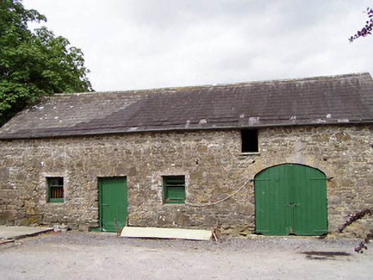 Lisnanagh Househouse · 392 yd
 Enclosure in LisnanaghEnclosure · 462 yd
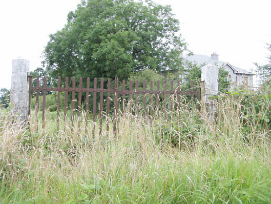 gates/railings/wallsgates/railings/walls · 1105 yd
 Ecclesiastical enclosure in MoatfarrellEcclesiastical enclosure · 1193 yd
 IndicatedBawn · 1389 yd
 Moat & CastleCastle, motte and bailey · 1427 yd
 Oldtown DemesneForest · 2.3 mi
 Oldtown CopseWood · 2.4 mi
 Edgeworthstown BypassMemorial · 2.6 mi
 Bully's Acregraveyard/cemetery, unknown · 4.0 mi
 Clonfin Ambush MemorialMemorial · 4.1 mi
 National Famine WayWalking route · 6.1 mi